
| Area | S.F. Trinity |
| Topic | Tour: Restoration of USFS Roads by Trinity County RCD -29N30D MM 1.74 |
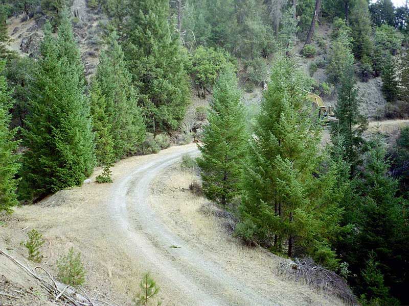
29N30D Road, Mile marker 1.74 before excavating 12,000 cubic yard stream crossing. Upper South Fork Trinity compartment (TCRCD) 2002.
29N30D Road, Mile marker 1.74 during stream crossing excavation. (TCRCD)
29N30D Road, Mile marker 1.74 during excavation. (TCRCD)
29N30D Road, Mile marker 1.74 After excavation of stream crossing. Seeding and mulching in progress. (TCRCD)
29N30D Road, Mile marker 1.74, channel adjustment first year after excavation. Photo taken 2003. (TCRCD)
 Click on image to enlarge (104K).
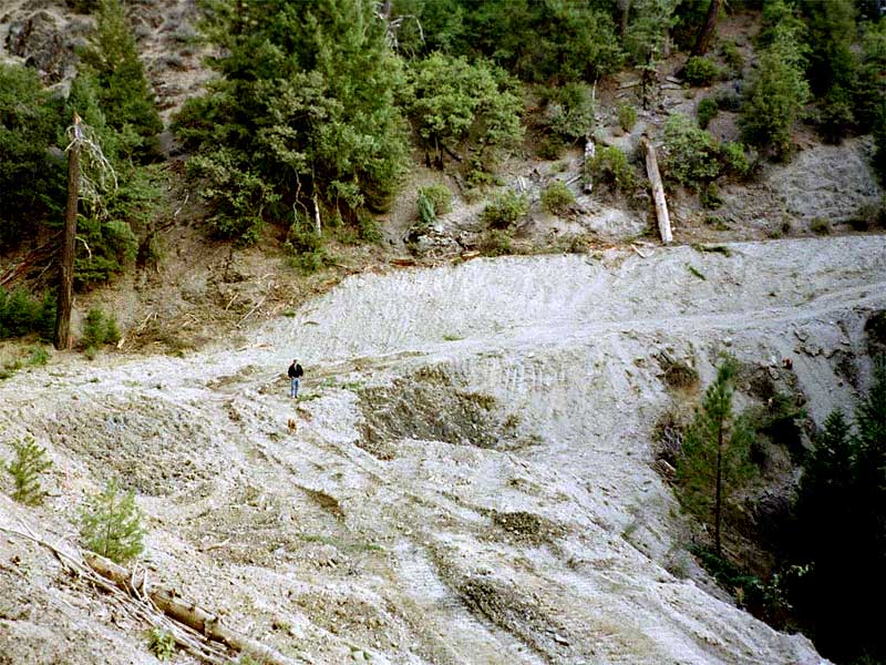 Click on image to enlarge (117K).
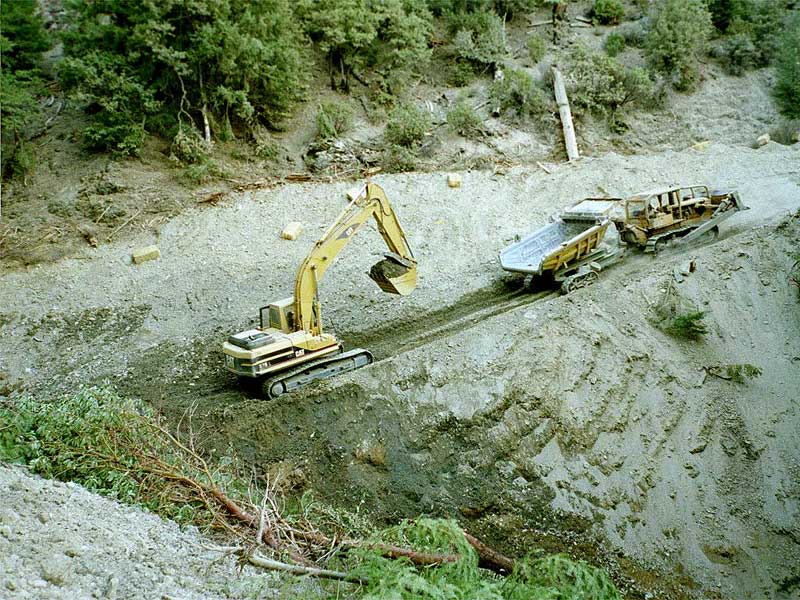 Click on image to enlarge (125K).
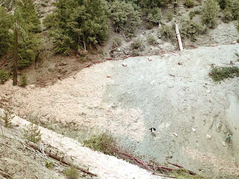 Click on image to enlarge (112K).
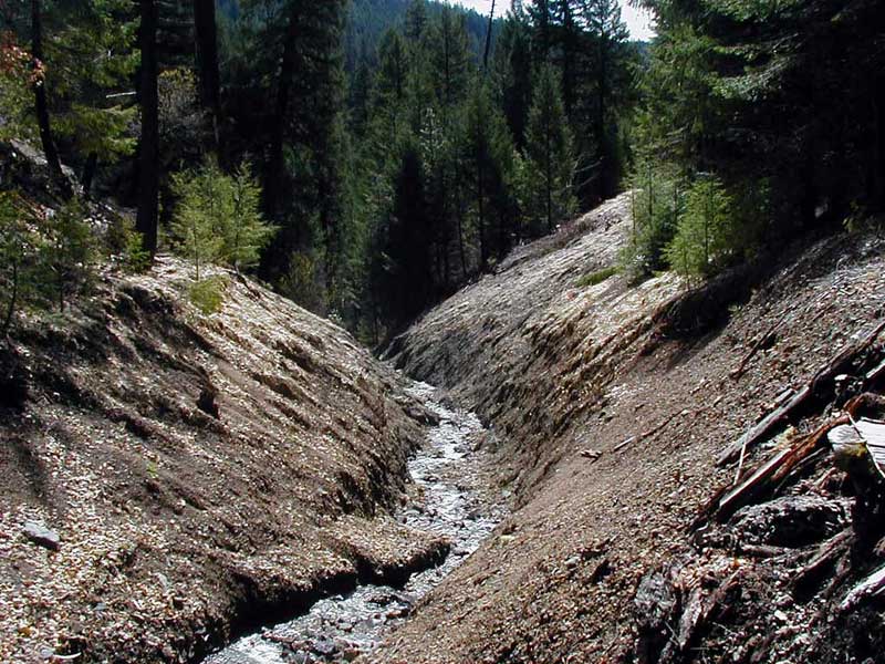 Click on image to enlarge (117K).
To learn more about this topic click Info Links
To view additional information (data source, aquisition date etc.) about this page, click Metadata
| www.krisweb.com |