
| Area | Upper Klamath |
| Topic | Climate: Rainfall at Tulelake 1933-1999 |
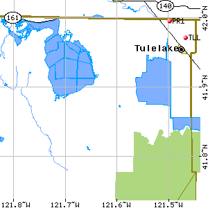
This map image was taken from the California Data Exchange Center website at the time the data for the Tulelake rain gauge was downloaded. TLL is the location of the Tulelake rain gauge. Tule Lake is nearby and the other water body is Lower Klamath Lake.
 Click on image to enlarge (7K).
To learn more about this topic click Info Links
To view additional information (data source, aquisition date etc.) about this page, click Metadata
| www.krisweb.com |