
| Area | Upper Klamath |
| Topic | Tour: North Coast Regional Board Water Quality Monitoring Sites |
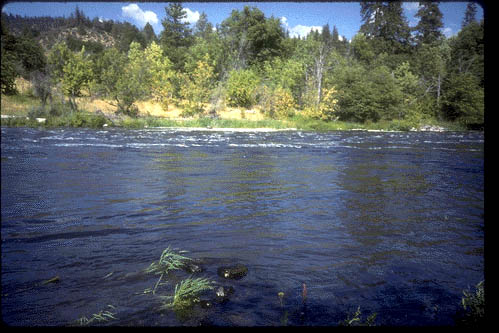
The Klamath River at Oregon/California border (KBORD).
The Klamath Straights Drain (KSD), where flow from lower Klamath basin is rerouted and joins the Klamath river (visible in background). See also Tour: Klamath Project for a map of locations.
Pump D, where water from the Tule Basin in pumped into the Lower Klamath Lake Wildlife Refuge system.
The Lost River at Highway 37.
The Lost River above the Tule Lake Sump.
 Click on image to enlarge (52K).
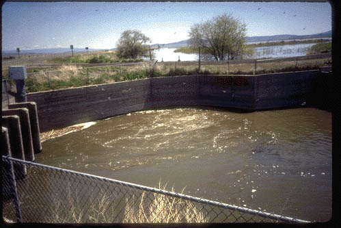 Click on image to enlarge (46K).
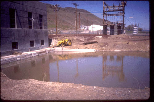 Click on image to enlarge (43K).
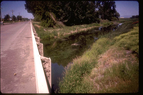 Click on image to enlarge (48K).
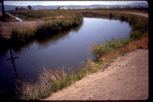 Click on image to enlarge (47K).
To learn more about this topic click Info Links
To view additional information (data source, aquisition date etc.) about this page, click Metadata
| www.krisweb.com |