
| Area | Upper Trinity |
| Topic | Tour: Trinity Lake Construction: Lake Filling |
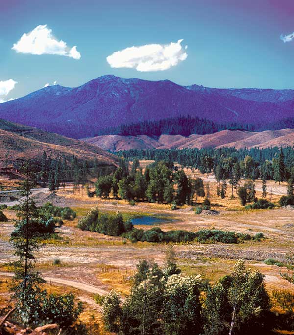
This photo is looking up what is now called the Stuart Fork arm showing Granite peak in background. Forested area above cut in center of photo is the current location of the Ridgeville campground and boat launch. The lake "islands" are the bald hilltops slightly to the right. Buckeye creek (now Buckeye arm) flows in from the left and joins Stuart Fork off camera on the right. Although the hillsides were clearcut, trees on the lake bottom were left largely intact, many of which are probably still standing due to lack of oxygen. Photo courtesy Sue Corrigan and family.
This photo is looking up what is now called the Stuart Fork arm showing Granite peak in background. This photo is shot from a similar location (although panned slightly to the right) as the previous one but taken after the lake began to fill. The lake was full in approximately two years. Forested area above cut in left center of photo is the current location of the Ridgeville campground and boat launch. The lake "islands" are the bald hilltops towards the center. Photo courtesy Sue Corrigan and family.
Photo showing the Buckeye drainage where it opens into the valley and snow covered Granite peak in the background. Photo courtesy Sue Corrigan and family.
Photo looking up Stuart Fork arm showing what is now the current location of Ridgeville campground and boat launch (forested area) with Granite peak in the background. Note only the upper portions of the trees are now visible. Photo courtesy Sue Corrigan and family.
Photo looking up the Trinity river, now the main stem of the lake. The area in the lower middle of photo would be the confluence of Stuart Fork with the Trinity River. Photo courtesy Sue Corrigan and family.
Photo showing what is probably Fairview ridge. Photo courtesy Sue Corrigan and family.
Photo showing lake filling. Photo is possibly of Fairview ridge looking up the Trinity river channel. Photo courtesy Sue Corrigan and family.
Photo showing lake filling. Photo is a more close up shot than last photo, possibly of Fairview ridge. Photo courtesy Sue Corrigan and family.
 Click on image to enlarge (73K).
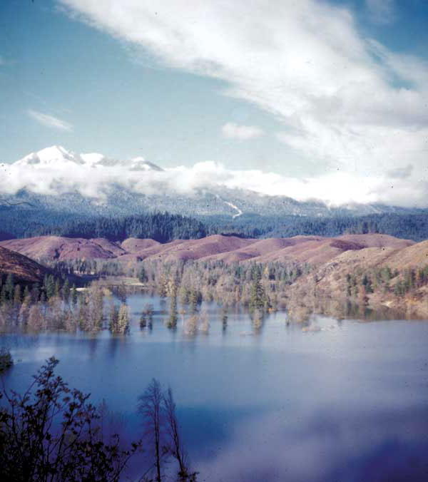 Click on image to enlarge (46K).
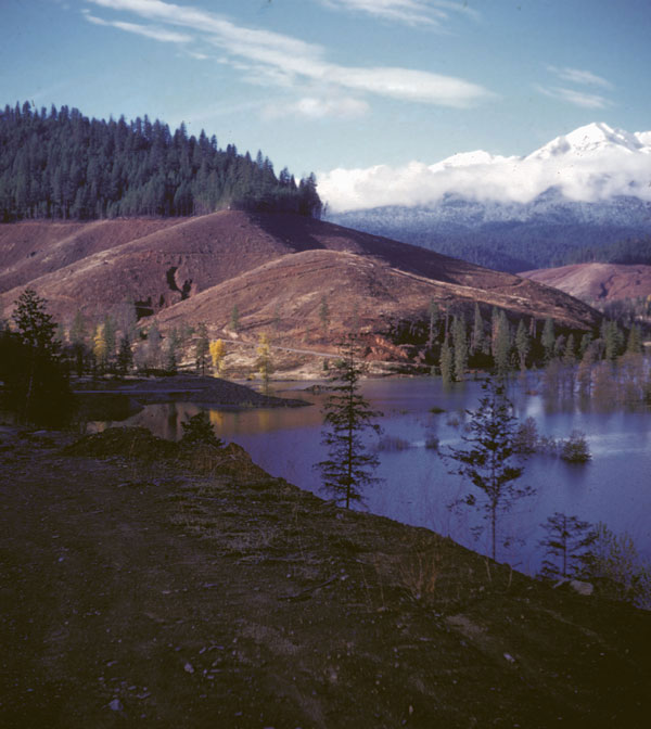 Click on image to enlarge (78K).
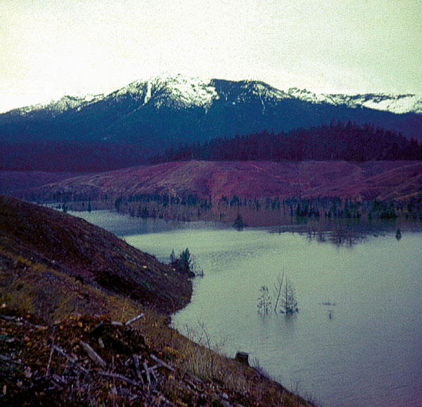 Click on image to enlarge (97K).
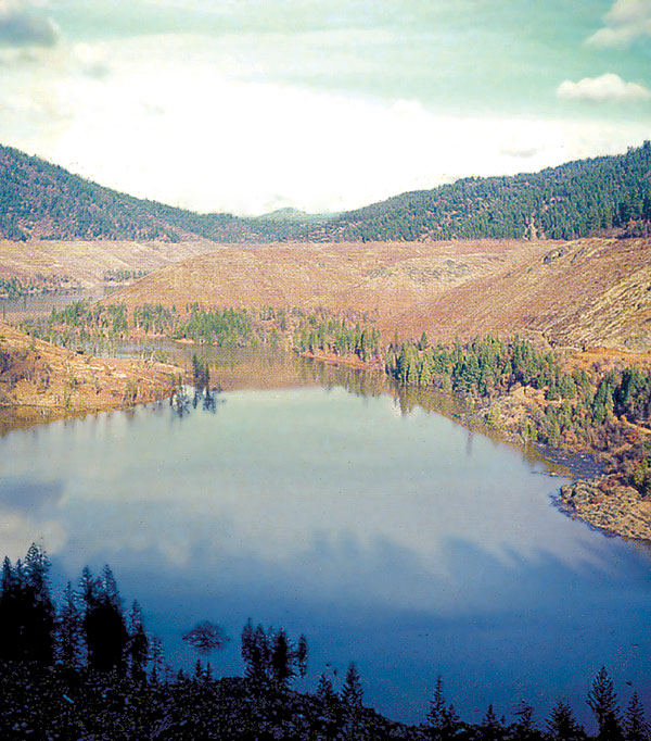 Click on image to enlarge (130K).
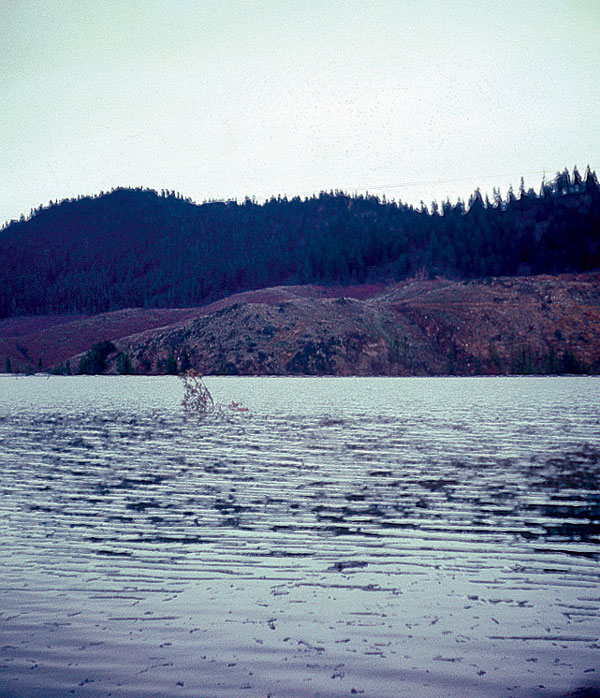 Click on image to enlarge (131K).
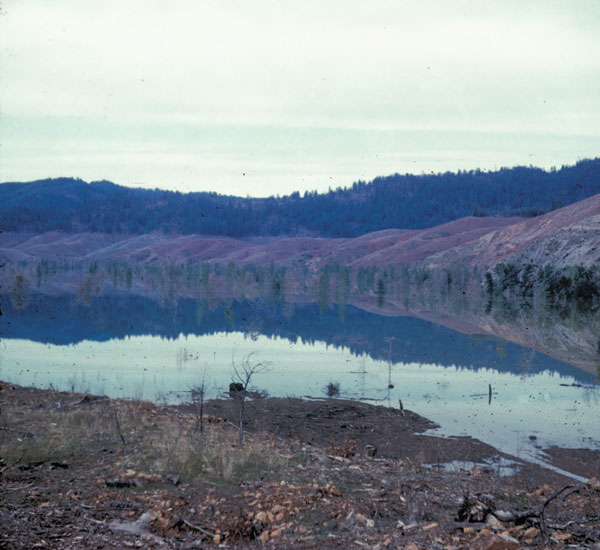 Click on image to enlarge (65K).
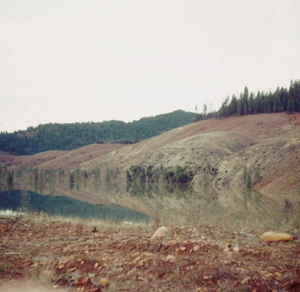 Click on image to enlarge (63K).
To learn more about this topic click Info Links
To view additional information (data source, aquisition date etc.) about this page, click Metadata
| www.krisweb.com |