 |
 |
| Background | Hypotheses| Bibliography | Maps | Home |
|
|
| Background | Hypotheses| Bibliography | Maps | Home |
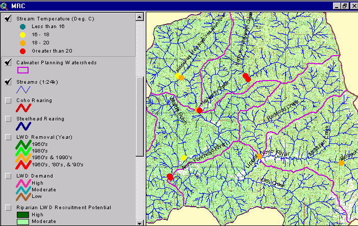
MAPS: Mendocino Redwood Company View
![]()
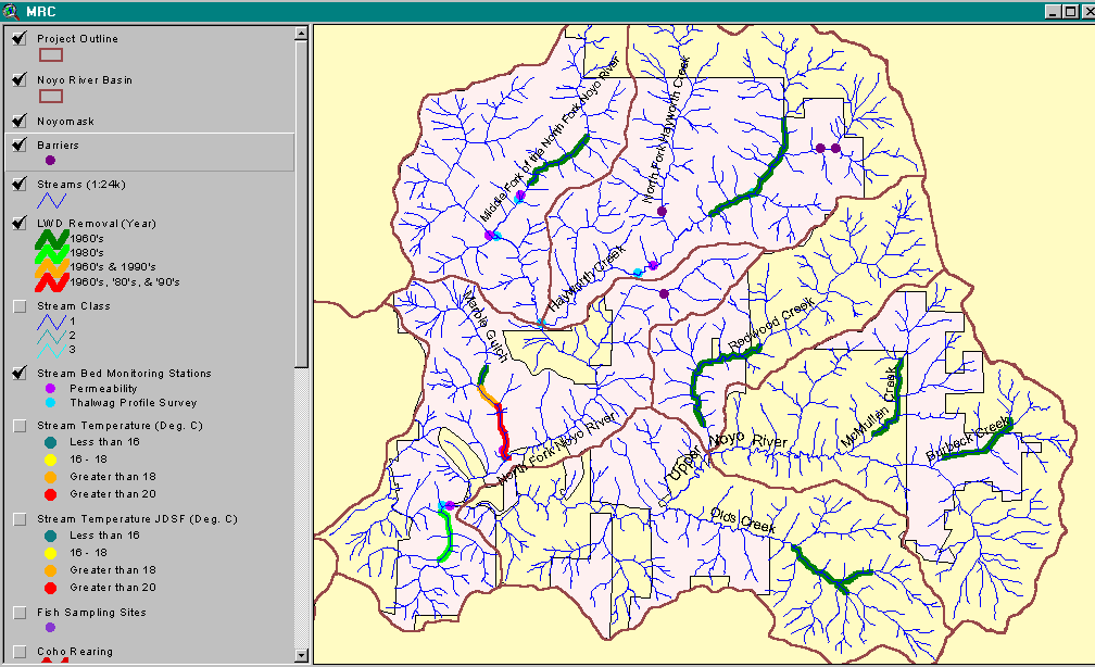
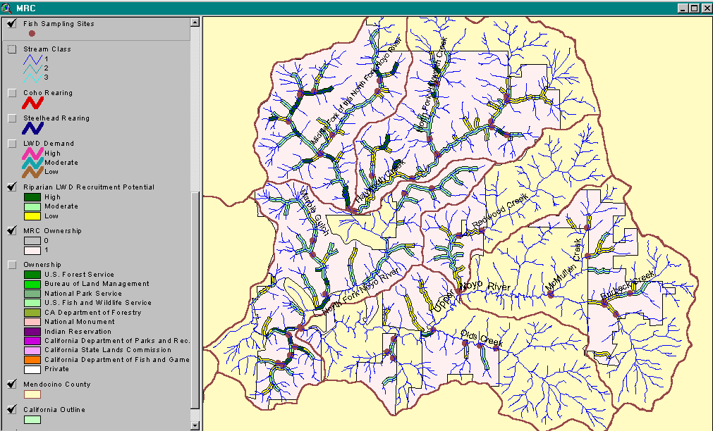
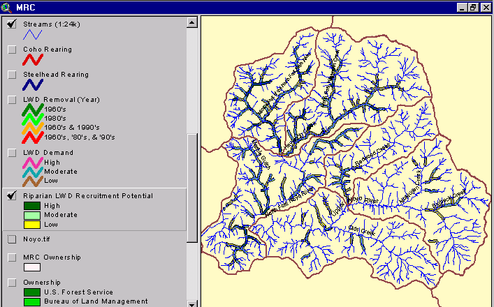
The Mendocino Redwood Company (MRC) was fully cooperative in sharing information with IFR for the KRIS Noyo project. Their GIS map layers related to fish and stream temperature monitoring are represented in the MRC view. Major themes include stream temperature, stream class, barriers to fish migration, fish sampling sites, monitoring stations, coho and steelhead rearing sites, several themes on large woody debris (LWD) and MRC ownership boundaries.
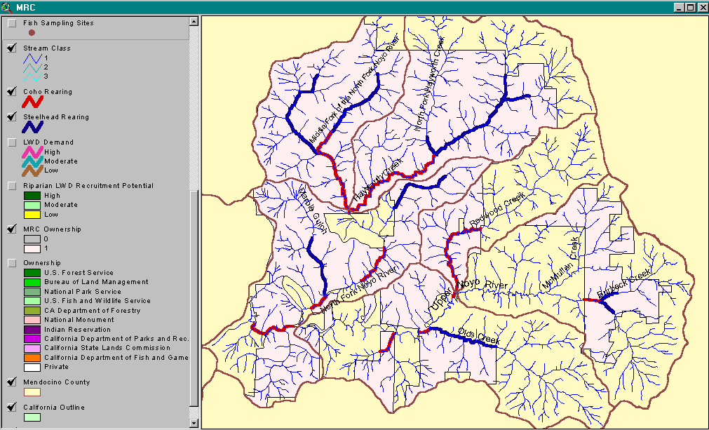 |
MRC fish distribution maps for coho and steelhead in the Upper Noyo and North Fork basins is shown in this image. This theme is very useful for restoration planning. Data provided by the Mendocino Redwood Company. |
![]()
| www.krisweb.com |