
| Area | Lower Noyo/Basin-wide |
| Topic | Tour: Matthews Photos of 1952 vs 1996 Noyo Harbor |
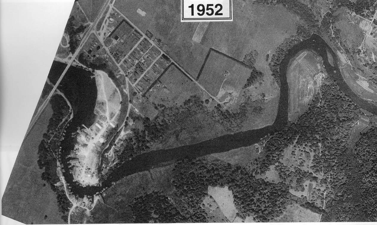
This aerial photo shows the lower reaches of the Noyo River and estuary with Highway 1 at left in 1952. Notice the amount of development of Ft Bragg when viewing the same location in 1996 as Picture 2. Taken from Matthews (1999) Figure 20a.
This aerial photo shows the lower reaches of the Noyo River and estuary with Highway 1 at left in 1996. Notice that two boat basins were developed between 1952 and 1996. Taken from Matthews (1999) Figure 20b.
 Click on image to enlarge (214K).
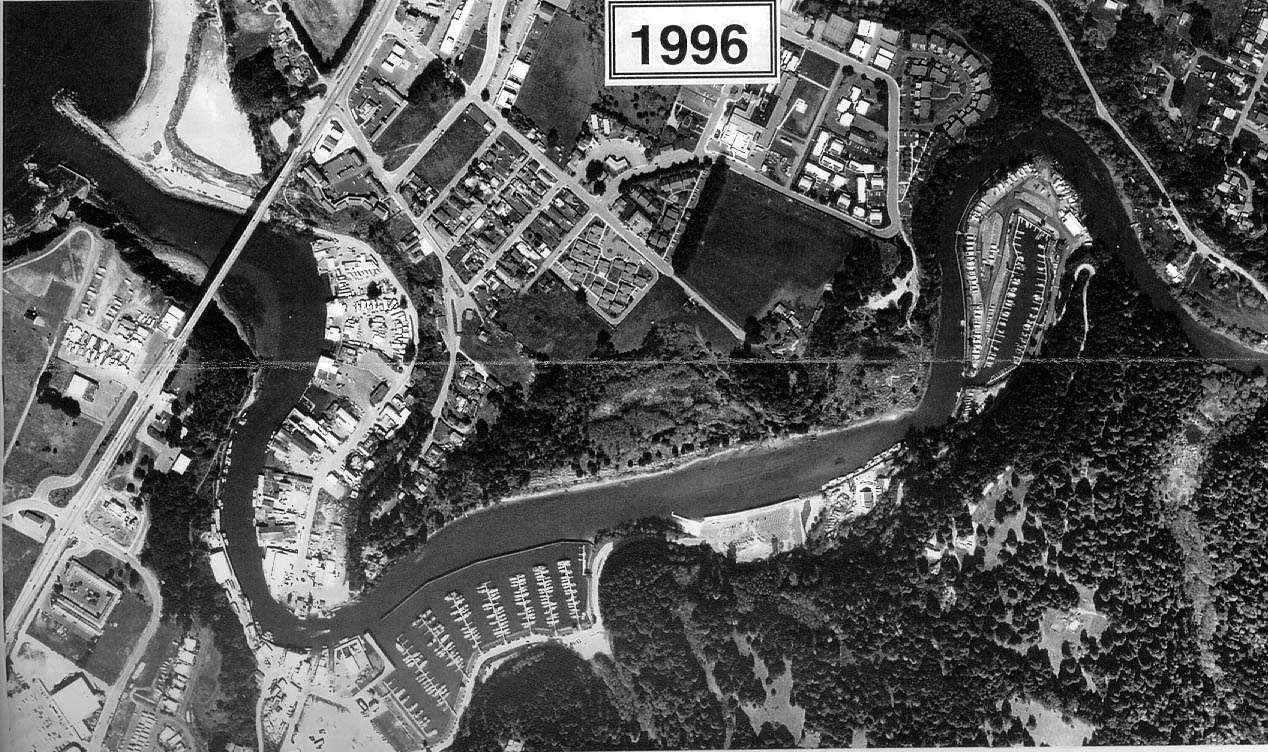 Click on image to enlarge (233K).
To learn more about this topic click here
| www.krisweb.com |