| Area |
Lower Noyo/Basin-wide |
| Topic |
Tour: Contemporary Aerial Photos of Lower Noyo by Matthews |
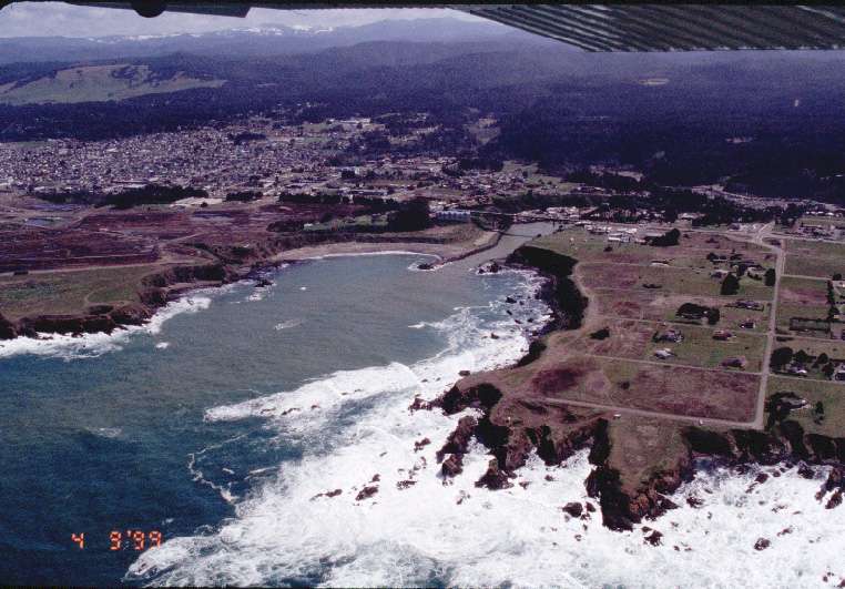
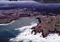 Click on image to enlarge (65K).
View of mouth of Noyo River at Fort Bragg. Note turbid flow of Noyo River entering the Pacific Ocean from small storm 4/7/99. Photo courtesy of Graham Matthews.
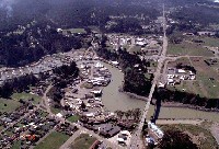 Click on image to enlarge (76K).
View of Noyo Harbor looking south along Highway 1. Photo courtesy of Graham Matthews. 4/9/99.
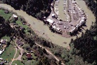 Click on image to enlarge (69K).
View of Noyo River showing the small boat marina furthest upstream. The squarish feature in the center of the channel near the bend is the remains of one of the instream timber cribs that were used to anchor log rafts floated down the river from the upper watershed. Photo courtesy of Graham Matthews.
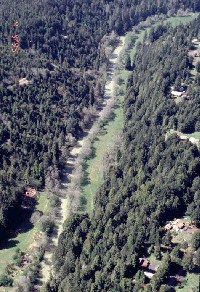 Click on image to enlarge (82K).
View of lower Noyo River. Thin band of alders line channel, with remaining portion of narrow alluvial valley floor cleared for pasture. Photo courtesy of Graham Matthews.
 Click on image to enlarge (92K).
View south across Noyo River at rivermile 5.5 showing recent harvest. Road is main haul road along south bank of Noyo in its lower reaches. Photo courtesy of Graham Matthews.

 Click on image to enlarge (65K).
 Click on image to enlarge (76K).
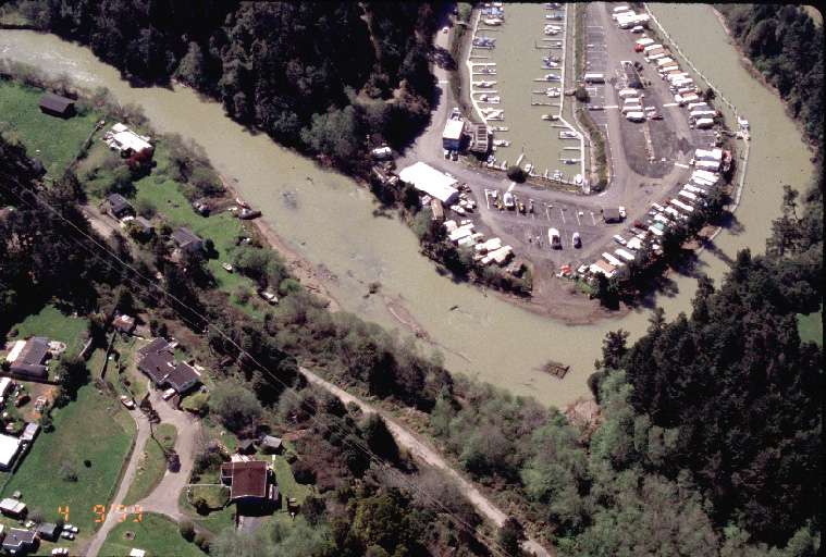 Click on image to enlarge (69K).
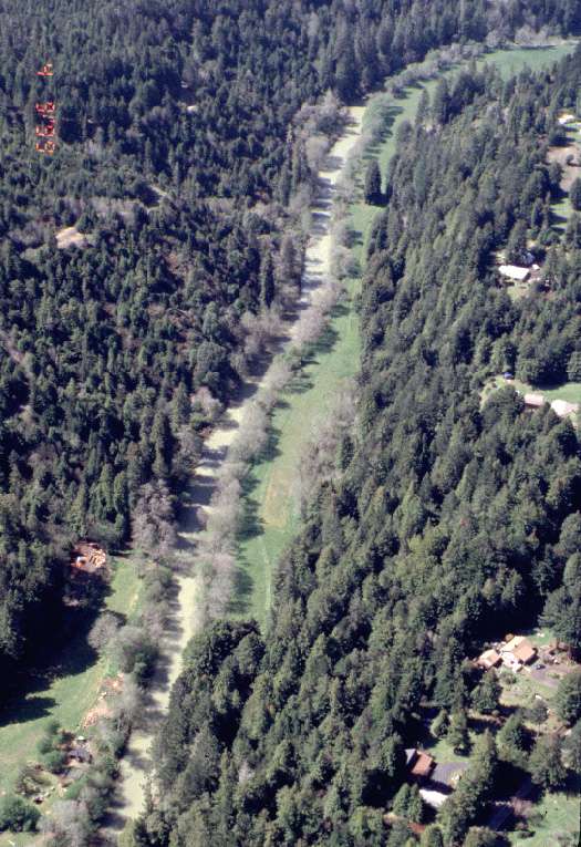 Click on image to enlarge (82K).
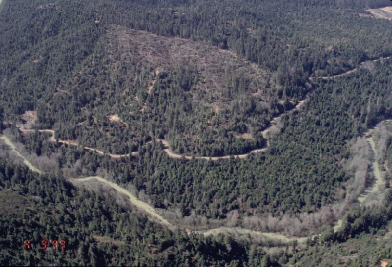 Click on image to enlarge (92K).