
| Area | Middle Noyo |
| Topic | Middle Noyo Basin Location Maps |
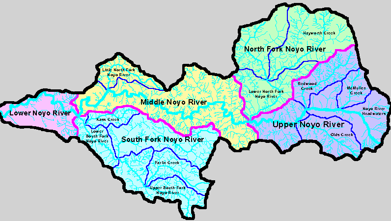
The map above shows Noyo River basins as defined by Matthews (1999) for their TMDL related sediment report. The Middle Noyo River basin is at upper center, including the Little North Fork Noyo River.
The Little North Fork Noyo and Duffy Gulch CalWater planning units make up the Middle Noyo basin in the KRIS Noyo project. The shaded relief map backdrop shows that the headwaters of Duffy Gulch are steep. Image from the KRIS Noyo Map project.
 Click on image to enlarge (29K).
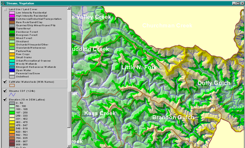 Click on image to enlarge (204K).
To learn more about this topic click here
| www.krisweb.com |