
| Area | Pudding Creek |
| Topic | Pudding Creek Basin Location Maps |
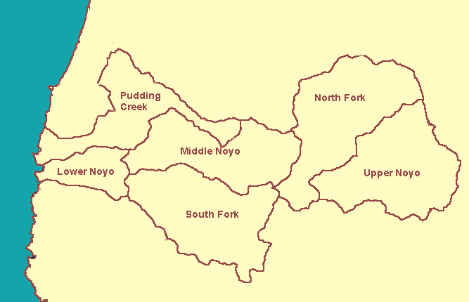
The map above shows KRIS Noyo project sub-basin areas which include Pudding Creek. Pudding Creek flows directly into the Pacific Ocean at the north end of Fort Bragg and is not a tributary of the Noyo River proper. It was included in the KRIS Noyo project because it is similar in character to the Little North Fork Noyo River.
The Pudding Creek and Little Valley Creek CalWaters make up the Pudding Creek sub-basin within the KRIS Noyo project. The shaded relief map from the KRIS Noyo Map project shows that only the headwaters of Pudding Creek are steep.
This EPA Land Cover/Land Use map from the KRIS Noyo Map project shows that the most intensive landuse in the Pudding Creek basin is in the urbanizing western portion of the basin which runs through Ft. Bragg. Land uses in the western basin include Low and High Intensity Residential with patches of Commercial/Industrial/Transportation.
 Click on image to enlarge (10K).
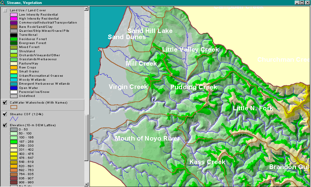 Click on image to enlarge (176K).
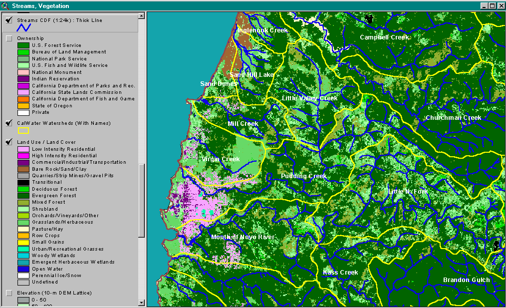 Click on image to enlarge (96K).
To learn more about this topic click here
| www.krisweb.com |