
| Area | South Fork |
| Topic | Sediment: Road Densities South Fork Noyo Sub-Basins |
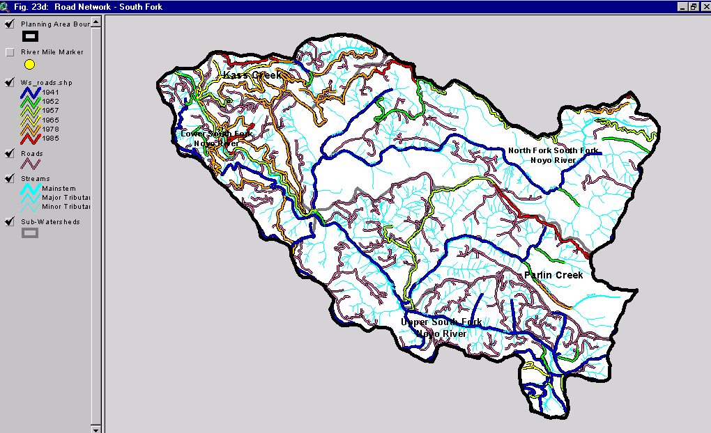
The map above is Figure 23d taken from Matthews (1999) and shows the road densities in the South Fork Noyo River sub-basin. Roads were mapped using aerial photos and the year of the photo is indicated by the color of the road. The pink roads without numbers are those most recently constructed and delineated from 1998 aerial photos. The latter category may also include roads scheduled for construction under various timber harvests.
 Click on image to enlarge (50K).
To learn more about this topic click here
| www.krisweb.com |