| Area |
South Fork |
| Topic |
Tour: South Fork Noyo River Photos |
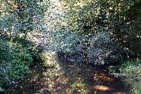 Click on image to enlarge (75K).
This photo shows the South Fork Noyo River just upstream of the weir where coho salmon are trapped for the Noyo egg taking station, which is operated by the California Department of Fish and Game.
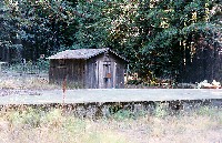 Click on image to enlarge (150K).
California Department Fish and Game egg taking facility on the South Fork Noyo River in Jackson State Demonstration Forest before the salmon spawning season in early November 1999.
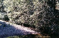 Click on image to enlarge (88K).
This photo shows the South Fork Noyo River just below the weir for the California Department of Fish and Game egg taking station. The creek is showing significant signs of aggradation with the active channel during low flow conditions pushed over to the margin at right underneath the alder canopy. Small average particle size distribution in evidence in the photo also indicates past problems in the watershed with cumulative watershed effects.
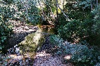 Click on image to enlarge (78K).
 Click on image to enlarge (176K).
Aerial view of Noyo River from a point about 2 miles southeast of Fort Bragg, looking east. Skunk train tracks visible in river bend at lower right as well as confluence of South Fork Noyo River. Riparian zone on the south side of the Noyo River downstream of the South Fork has had large conifers removed which will retard large wood recruitment. The Kass Creek watershed is immediately above the confluence in the photo. Mostly GP land. June 5, 1990, Roll L frame 18, on Kodak Ektar 25 negative film. Photo by Nicholas Wilson.
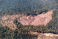 Click on image to enlarge (177K).
Aerial view of shelterwood cut (left) and clearcut (center) in Jackson State Forest, South Fork Noyo basin, along the main entry road to Parlin Fork Conservation Camp, looking south-southwest toward Highway 20, which runs along the ridge just above middle of view. Power transmission line roughly parallel highway. Uncut forest in upper portion is in Little North Fork Big River. April 14, 1990, Roll G frame 24, on Kodak Ektar 25 negative film, Photo by Nicholas Wilson.

 Click on image to enlarge (75K).
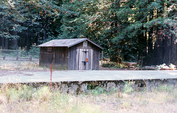 Click on image to enlarge (150K).
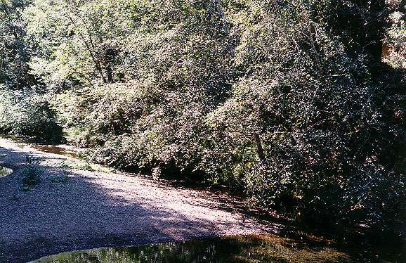 Click on image to enlarge (88K).
 Click on image to enlarge (78K).
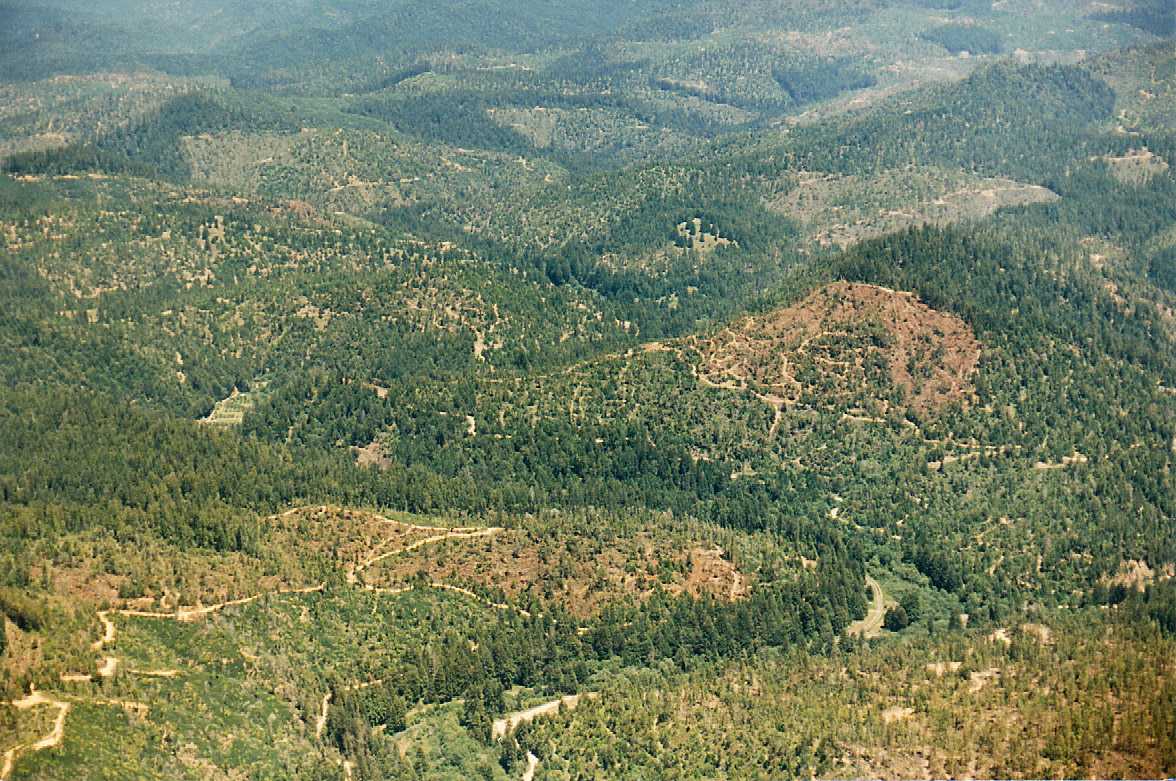 Click on image to enlarge (176K).
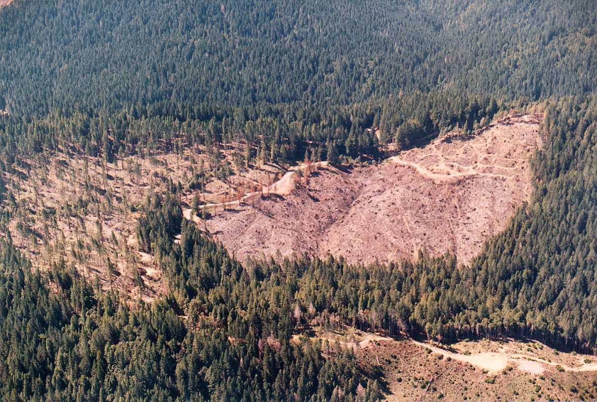 Click on image to enlarge (177K).