
| Area | Upper Noyo |
| Topic | USFS VegTypes: McCullen Creek CalWater 1994 |
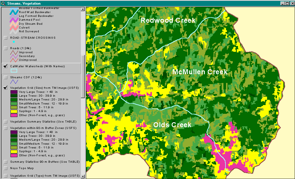
The image above shows USFS vegetation stand types for the McMullen Creek CalWater planning watershed based on a 1994 Landsat image. The stand types are only accurate at the one-hectare scale. There are large contiguous stands of Medium-Large Trees (20-29.9") in the central and upper McMullen Creek watershed. Saplings (<5" diameter trees), Small Trees (5-11.9") and Small/Medium Trees (12-19.9") dominate the lower basin. Non-Forest and Sapling (<5" diameter) in the southern extent of the CalWater are due to natural grasslands and a large earthflow. See InfoLinks for more information. Taken from the KRIS Noyo Map project.
This image is a 1993 USGS orthophoto quad segment of the Burbeck quad map showing the McMullen Creek CalWater. This is only one year prior to the 1994 USFS vegetation image from Landsat shown in Picture #1. See Picture #3 for a zoom into the orthophoto.
This image is a zoom in on the 1993 USGS orthophoto quad segment of the Burbeck quad map showing the McMullen Creek watershed.
 Click on image to enlarge (58K).
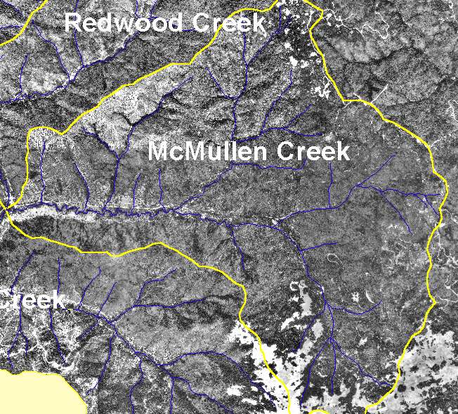 Click on image to enlarge (138K).
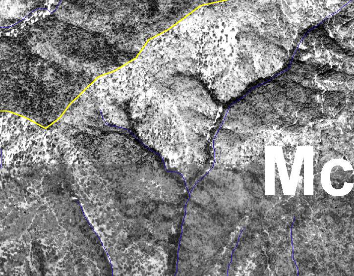 Click on image to enlarge (109K).
To learn more about this topic click here
| www.krisweb.com |