
| Area | General |
| Topic | Sediment: Average Road Densities in Redwood Creek Sub-Basins |
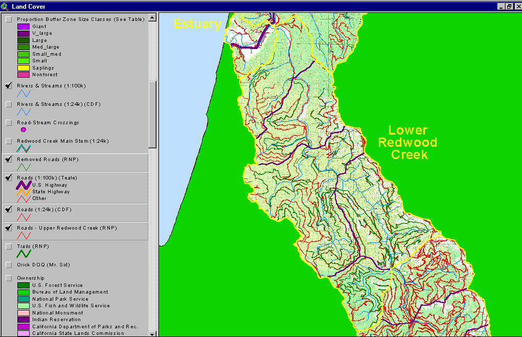
This map image from the KRIS map project shows roads in the Lower Redwood Creek sub-basin. Red lines are existing roads, and green lines are decommissioned roads. The source of these layers is Redwood National Park. Click on the blue buttons above for more images.
This map image from the KRIS map project shows roads in the Middle Redwood Creek sub-basin. The source of these layers is Redwood National Park and the CDF.
This map image from the KRIS map project shows roads in the Upper Redwood Creek sub-basin. The source of these layers is Redwood National Park and the CDF.
 Click on image to enlarge (92K).
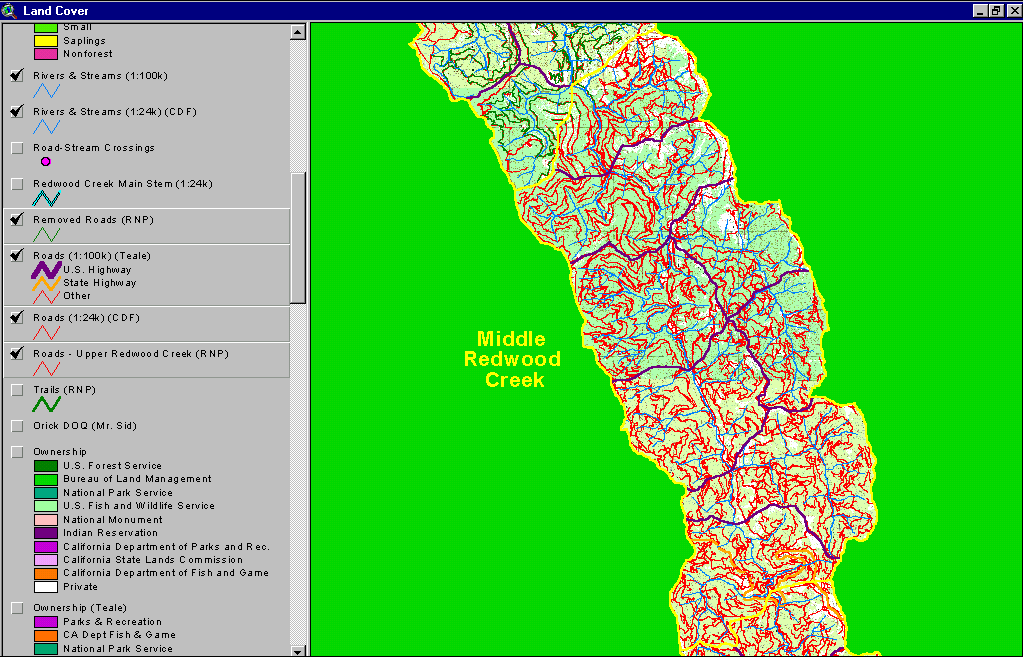 Click on image to enlarge (73K).
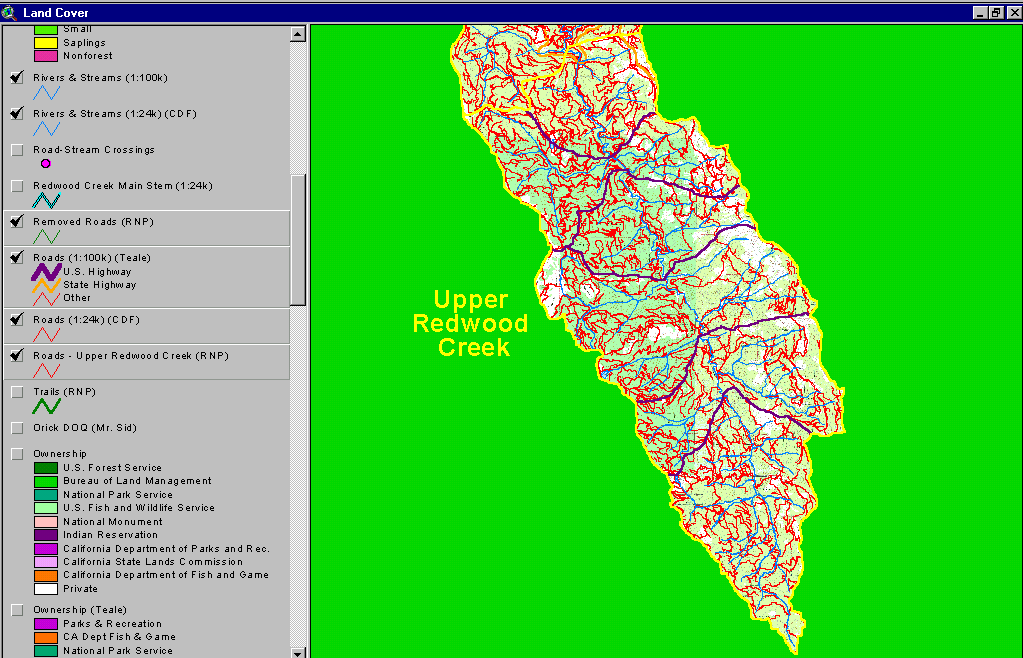 Click on image to enlarge (63K).
To learn more about this topic click Info Links
| www.krisweb.com |