
| Area | Prairie Creek |
| Topic | Sediment: V* From East Fork Lost Man Creek, 1992-1993 |
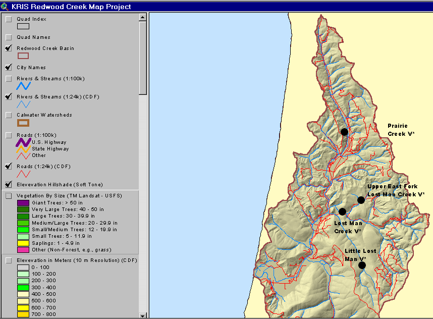
The map above shows the four Knopp V* reaches in Prairie Creek sub-basin. Note the road crossing the East Fork of Lost Man Creek in the vicinity of the V* reach. Click on the blue button above to see the road layer for the sub-basin.
This image shows the CDF road layer of the Prairie Creek sub-basin. Removed roads are also shown, and the East Fork of Lost Man Creek has had multiple spur roads removed. This image is clipped from the KRIS Redwood Creek Map Project.
 Click on image to enlarge (138K).
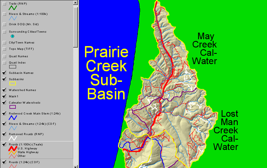 Click on image to enlarge (132K).
To learn more about this topic click Info Links
| www.krisweb.com |