
| Area | Prairie Creek |
| Topic | Sediment: V* From Little Lost Man Creek, 1992-2001 |
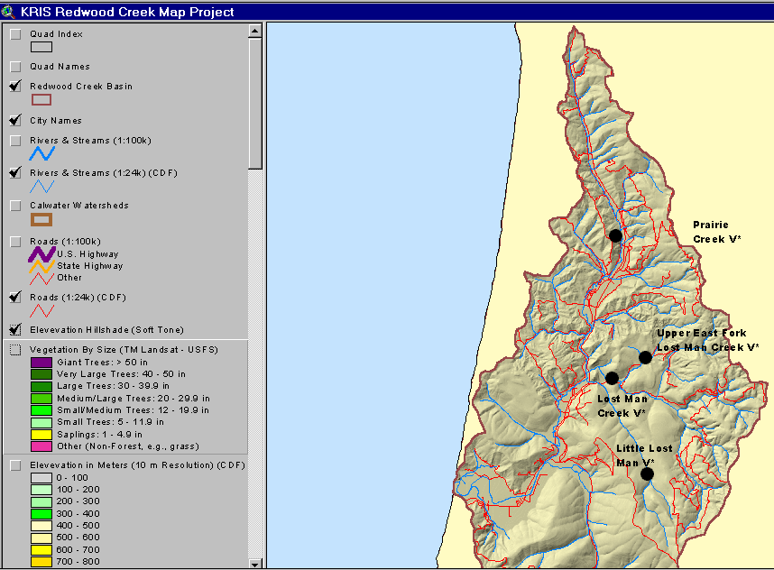
This map show V* locations in the Prairie Creek sub-basin.
This image shows the CDF road layer of the Prairie Creek sub-basin. Removed roads are also shown. Notice the lack of roads in the Little Lost Man Creek basin. This image is clipped from the KRIS Redwood Creek Map Project.
 Click on image to enlarge (138K).
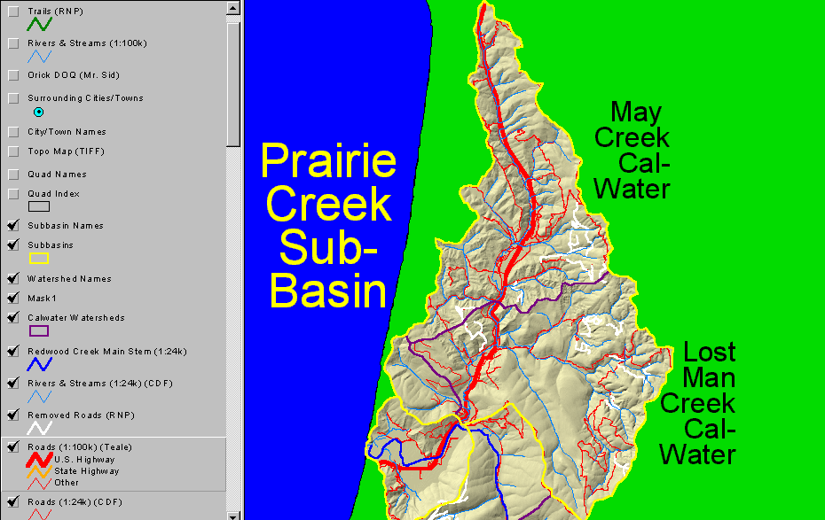 Click on image to enlarge (132K).
To learn more about this topic click Info Links
| www.krisweb.com |