| Area |
Estuary |
| Topic |
Tour: Redwood Creek Estuary Ground Photos |
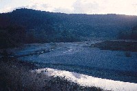 Click on image to enlarge (105K).
Photo of Redwood Creek estuary sand spit. Photo taken 10/31/01.
 Click on image to enlarge (179K).
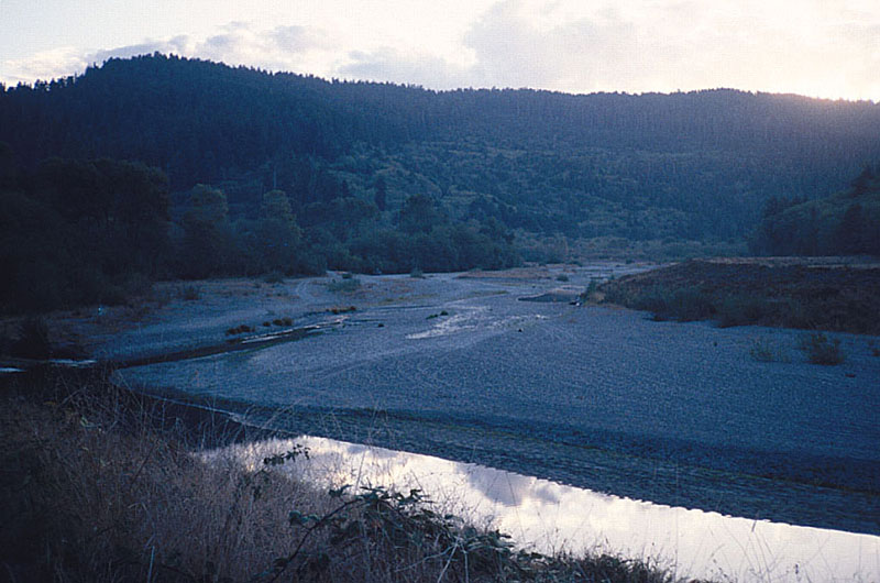
Photo of Redwood Creek looking upstream, in the town of Orick, CA. The channel has been confined by levees. Established riparian vegetation stabilizes gravel bars and banks.
 Click on image to enlarge (195K).
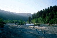
Photo of Redwood Creek looking downstream from Highway 101 toward the estuary. Levees along the banks confine the channel. 10/31/01.
Click on image to enlarge (105K).Photo of Redwood Creek looking upstream of Prairie Creek at dry channel. Redwood Creek is dry at this point because of massive aggradation. Photo was taken 10/31/01.
 Click on image to enlarge (197K).
Redwood Creek above the confluence with Prairie Creek, January 1998. Image copyright Gary Todoroff. See Info Links for information on Todoroff's photographs.
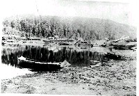 Click on image to enlarge (78K).
Fish Camp, presumably alongside Redwood Creek estuary facing South. Image courtesy of Redwood National Park, from the Phoebe S. Hearst Museum of Anthropology at UC Berkeley.

 Click on image to enlarge (105K).
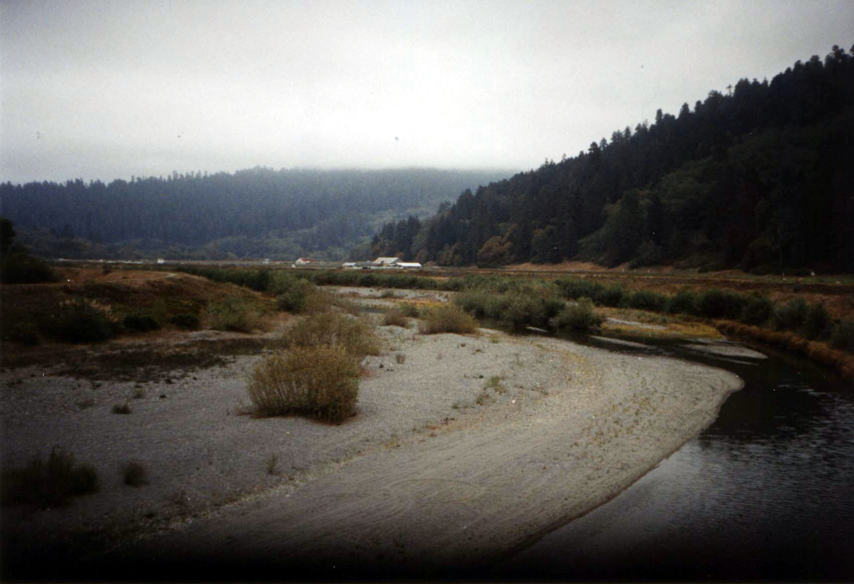 Click on image to enlarge (179K).
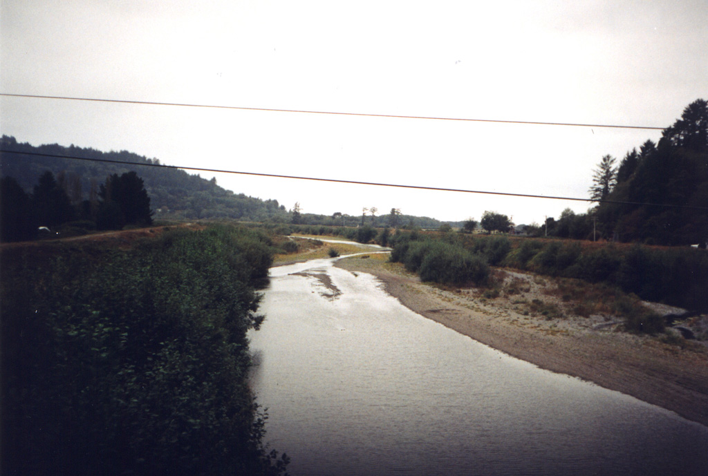 Click on image to enlarge (195K).
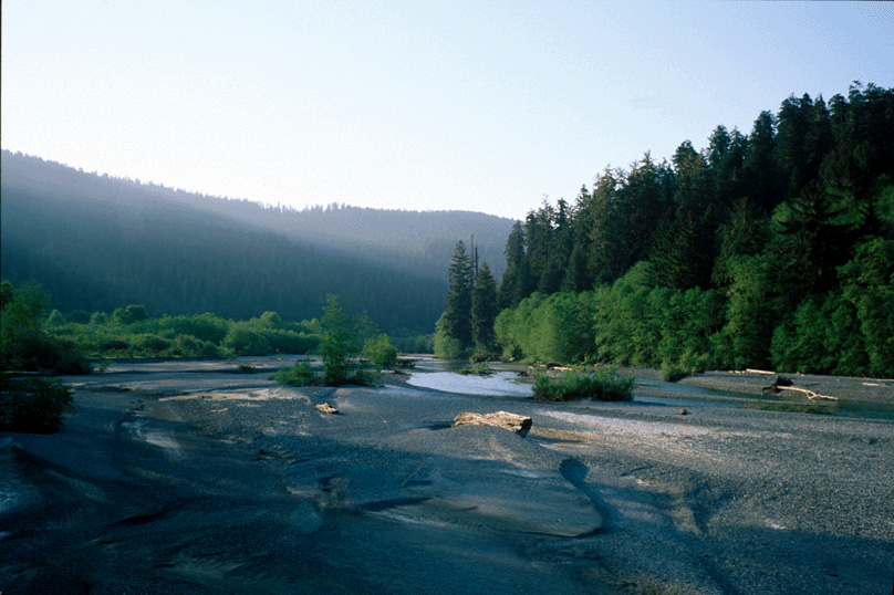 Click on image to enlarge (197K).
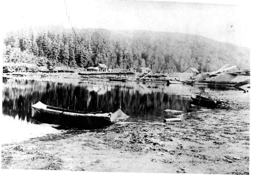 Click on image to enlarge (78K).