
| Area | Basinwide/General |
| Topic | Tour: Aerial Photos of the Ten Mile Estuary |
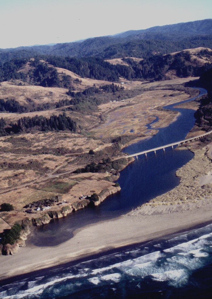
Estuary and sandbar closed. Oct, 95. Photos courtesy of Friends of the Ten Mile.
Estuary with the sand bar closed. Oct 15, 95 Photos courtesy of Friends of the Ten Mile.
Estuary and sloughs east of Ten Mile Bridge with the Ten Mile Ranch in the background. 1995. Photos courtesy of Friends of the Ten Mile.
Sloughs along the middle estuary. 1995 Photos courtesy of Friends of the Ten Mile.
This photo shows sand dunes south of the Ten Mile River on the left, and middle estuary in the upper area of the image. Pasture lands and patches of forest lie between the estuary and the dunes. 1998 Photos courtesy of Friends of the Ten Mile.
This aerial photo shows the lower estuary with the Highway 1 Bridge in March 1998 with the Ten Mile River running highly turbid. The South Fork joins the main river at the top of the estuary in the upper center of the photo. Photos courtesy of Friends of the Ten Mile.
This aerial photo shows the mouth of the Ten Mile River and estuary looking downstream with Highway 1 clearly visible from right to left. The road at left heading up the Ten Mile is the Hawthorne Timber Company haul road. Photo provided by Judy Vidaver
 Click on image to enlarge (218K).
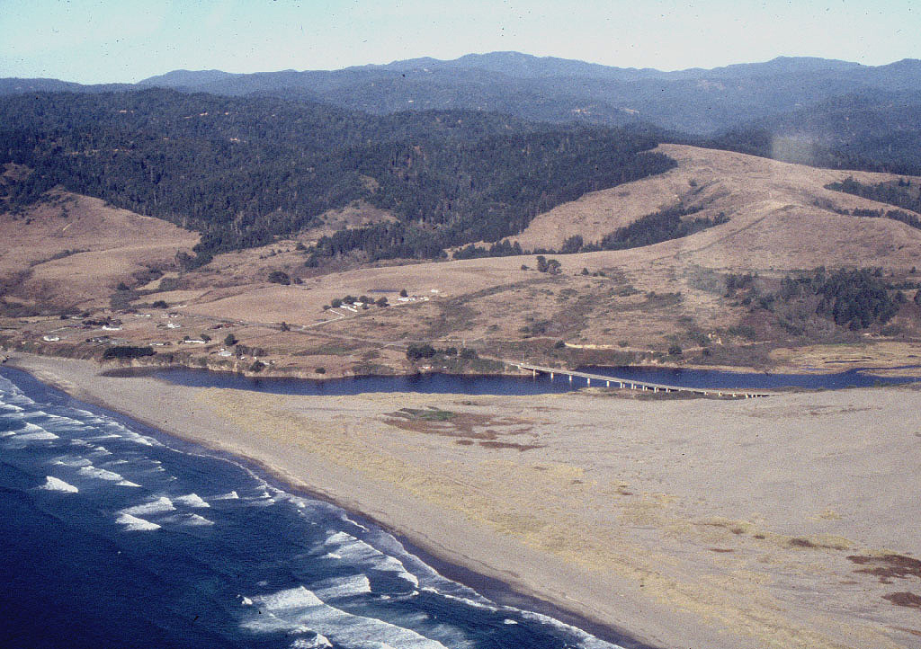 Click on image to enlarge (331K).
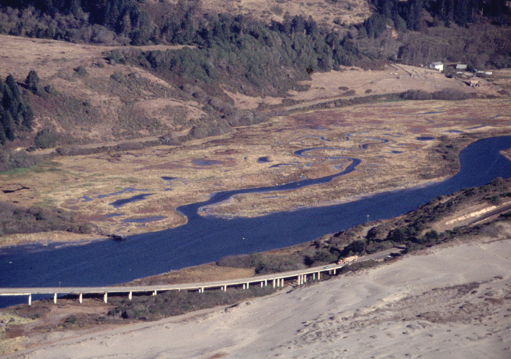 Click on image to enlarge (228K).
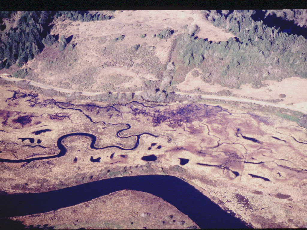 Click on image to enlarge (289K).
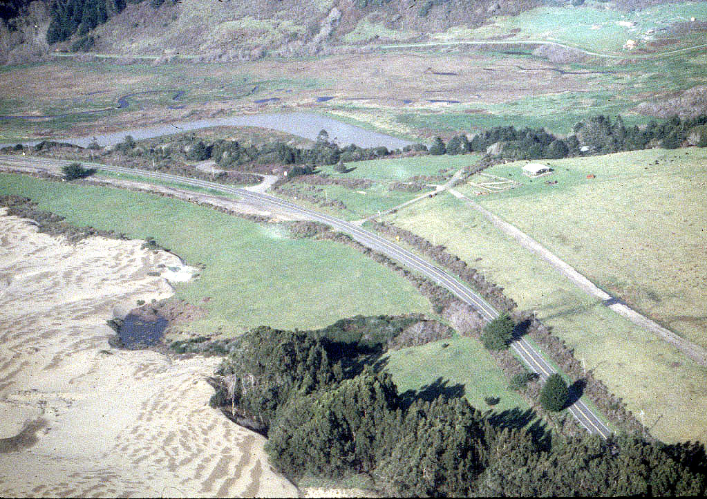 Click on image to enlarge (450K).
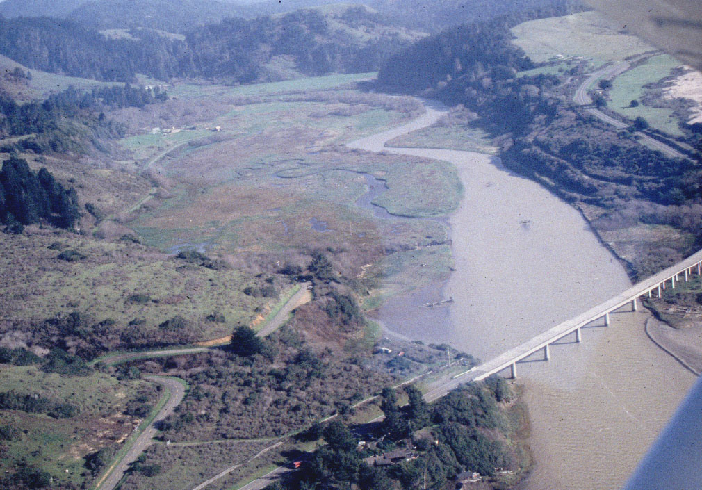 Click on image to enlarge (235K).
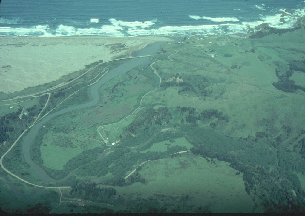 Click on image to enlarge (141K).
To learn more about this topic click here
| www.krisweb.com |