
| Area | Basinwide/General |
| Topic | Tour: Ground Photos of Ten Mile Estuary |
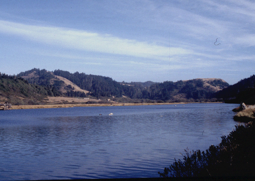
The Ten Mile River has a large estuary, which is shown extending here upstream of Highway 1. The estuary is a nursery for many kinds of aquatic species. Coastal shrub and grasslands on the hills near the ocean give way to coniferous forest just inland. Photos courtesy of Friends of the Ten Mile.
This photo shows wetlands adjacent to the Ten Mile River estuary looking southeast. The notch at the upper left in the photo is the convergence of the South Fork. Photos courtesy of Friends of the Ten Mile. 1995
This photo shows the upper reaches of the Ten Mile River estuary, wetlands and pasture with the Perry Ranch on the far side of the river. Photos courtesy of Friends of the Ten Mile. 1995.
Highway 1 Ten Mile Bridge, looking upstream, crossing the estuary. The notch in the horizon on the right is the South Fork. CalTrans intends to rebuild the Ten Mile Bridge by 2005. Photos courtesy of Friends of the Ten Mile.
South side of Ten Mile Bridge, Highway One, looking upstream with pasture and forest on the hillsides and the estuary and beach in the foreground. Photos courtesy of Friends of the Ten Mile.
This photo shows the dunes on the South side of the Ten Mile River, which extend almost all the way to Ft Bragg. Extensive dunes such as these are unusual along the coast of northern California. Photo, taken from the Highway 1 bridge. Photos courtesy of Friends of the Ten Mile.
This photo was taken looking southeast off the Highway 1 Bridge on the upstream side. Note that the bottom is visible across the entire estuary and that there are exposed sand bars, indicating very shallow water. Photos courtesy of Friends of the Ten Mile. 1997.
This photo taken from the Highway 1 Bridge shows dunes on the south side of the Ten Mile River mouth. The unusual and fragile dune habitats are home to rare and endangered species, such as the snowy plover. Photos courtesy of Friends of the Ten Mile.
 Click on image to enlarge (168K).
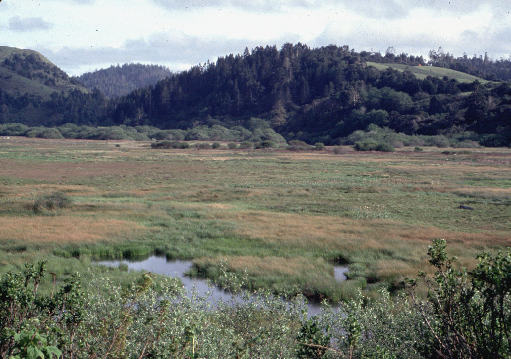 Click on image to enlarge (222K).
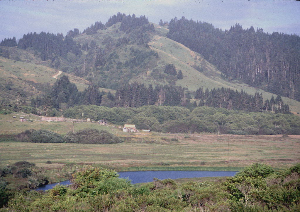 Click on image to enlarge (217K).
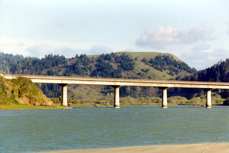 Click on image to enlarge (86K).
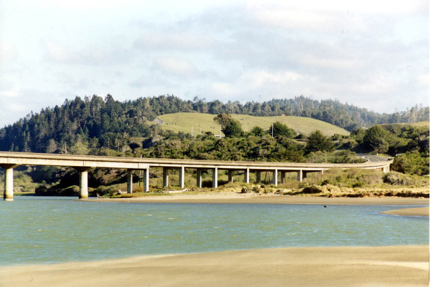 Click on image to enlarge (87K).
 Click on image to enlarge (81K).
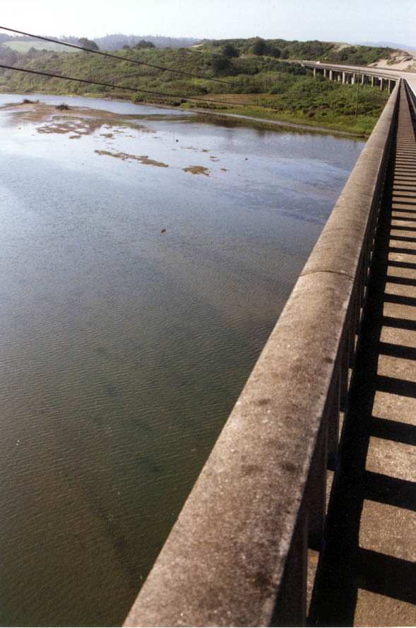 Click on image to enlarge (85K).
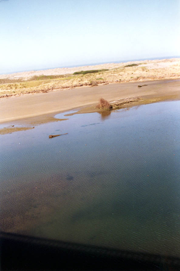 Click on image to enlarge (56K).
To learn more about this topic click here
| www.krisweb.com |