
| Area | Basinwide/General |
| Topic | Tour: Ground Photos of Ten Mile Estuary #2 |
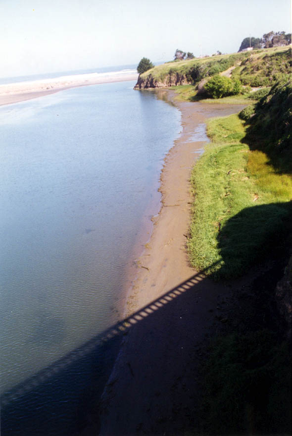
This photo was taken off the Highway 1 Bridge looking downstream toward the mouth of the Ten Mile River. Dark colored deposits in the margin at lower right have the appearance of topsoil and silt which may have been deposited by floods in January 1997. This photo was taken later in that year.
This mud flats exposed at low tide in the estuary at Ten Mile River is on the north side of the Highway 1 Bridge. This photo was taken from the bridge looking upstream.
 Click on image to enlarge (64K).
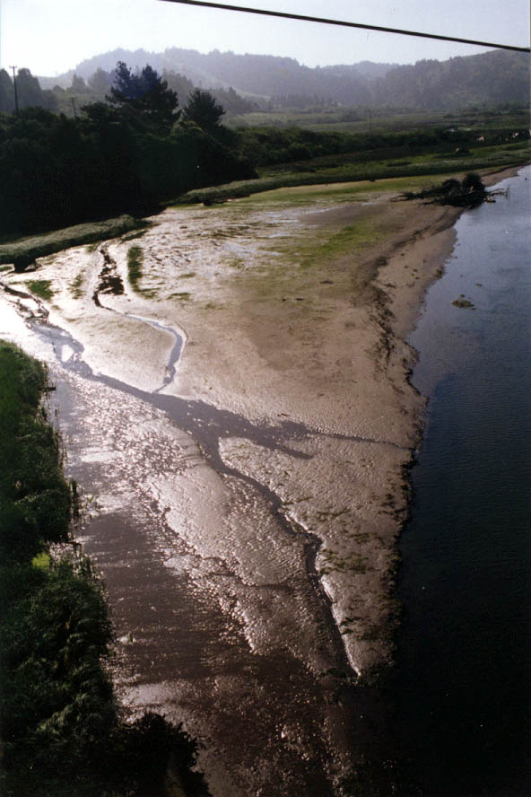 Click on image to enlarge (95K).
To learn more about this topic click here
| www.krisweb.com |