
| Area | Basinwide/General |
| Topic | Fish: Vertebrate Species Richness by Sub-Basin, 1995-1998 |
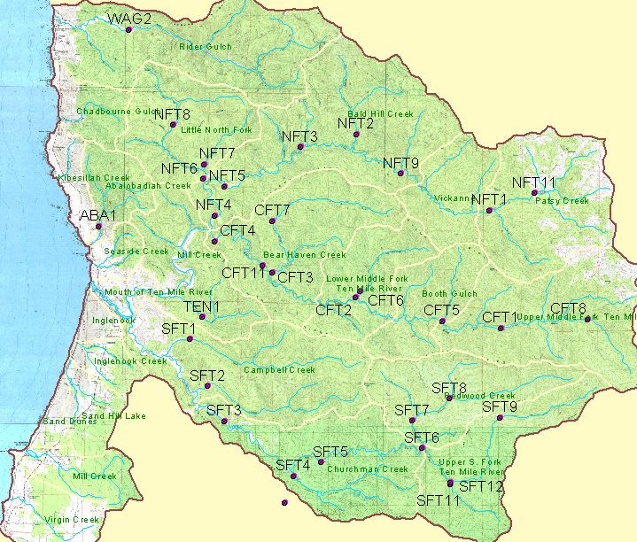
The image above shows all monitoring sites in the Ten Mile River basin (as well as Abalobadiah Creek and Wages Creek) established by Georgia Pacific and currently on lands owned by Hawthorne Timber Company. See image 2 for a display of which sites received aquatic vertebrate monitoring. Site coverage courtesy of Hawthorne Timber Company, and excerpted from KRIS Map Project.
The image above shows the 24 locations in the Ten Mile River watershed which were subject to aquatic vertebrate monitoring (electrofishing) in the period 1993-2000. Site coverage courtesy of Hawthorne Timber Company, and excerpted from KRIS Map Project.
 Click on image to enlarge (144K).
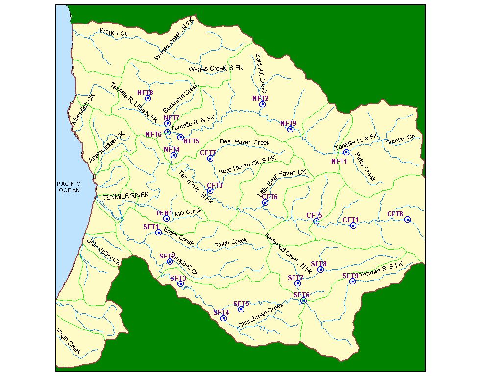 Click on image to enlarge (140K).
To learn more about this topic click here
| www.krisweb.com |