
| Area | Basinwide/General |
| Topic | Sediment: Matthews Road Construction by Large Basin Areas 1933-1999 |
The map image above is from the KRIS Ten Mile Map project in ArcView and shows road construction from 1942 to 1999. Older roads were mapped by Matthews and Associates (2000) from aerial photos and digitized into ArcView. Newer roads (since 1988) are derived from data provided by the California Department of Forestry. The legend at left shows road construction by period. The KRIS Ten Mile project covers sub-basins adjacent to the Ten Mile River, which were not studied by Matthews and Associates. Thin red lines are USGS 1:24,000 roads from DRGs.
This map from Matthews and Associates (2000) shows the old railroad bed which extended from the mouth of the Ten Mile well up the South Fork, and up the North Fork beyond the Little North Fork. The railroad was operated from 1910 to 1950. Matthews' Planning Watershed (red) and Sub-Watershed (gray) boundaries are both displayed.
The chart above is Figure 42 from Matthews (2000) and shows the amount of surface erosion from roads by period. The sediment yield from roads in the most recent period coincides with extensive road construction in the South Fork sub-basin.
 Click on image to enlarge (375K).
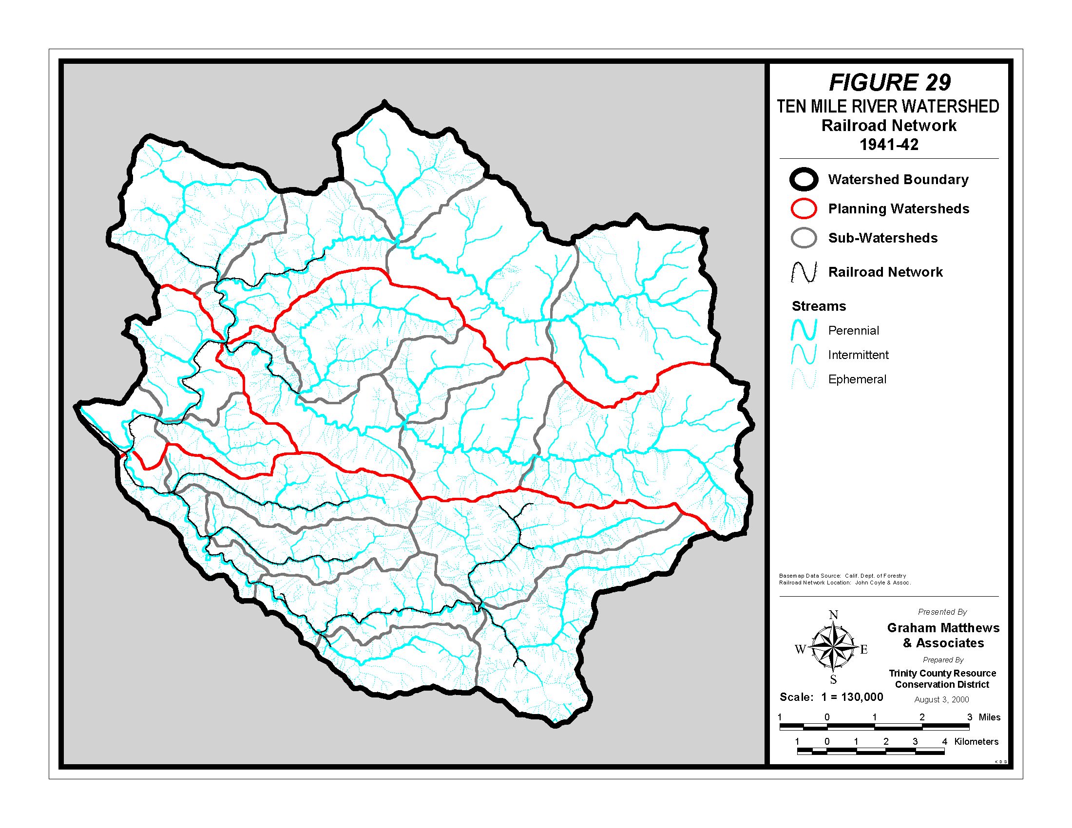 Click on image to enlarge (525K).
 Click on image to enlarge (15K).
To learn more about this topic click here
| www.krisweb.com |