
| Area | Coastal Tribs |
| Topic | Coastal Tribs South of the Ten Mile River: Basin Maps |
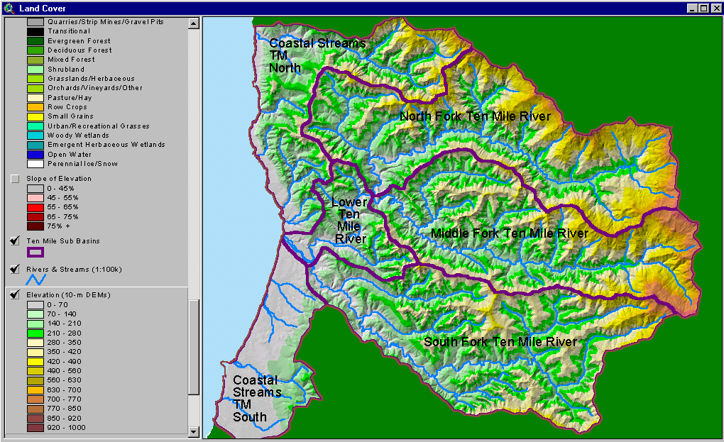
The image above is from the KRIS Ten Mile Map project and shows the elevation of the Ten Mile watershed and sub-basins as they appear in the KRIS database. The entire area south of the Ten Mile on the coastal plain is very flat and low in elevation.
The image above is from the KRIS Ten Mile Map project and shows stream gradient, including streams south of the Ten Mile, Most of the small coastal streams in this area appear to have suitable gradients for coho salmon.
The image above is from the KRIS Ten Mile Map project and shows slopes over 45% on a gray scale hillshade backdrop showing almost no areas with high slope in the area south of the Ten Mile River near the coast.
The image above is from the KRIS Ten Mile Map project and shows vegetation as interpreted from a 1994 Landsat image by the U.S. Forest Service Remote Sensing Lab. The large contiguous non-forest signature in the west reflects extensive dunes and beaches with grass and pasture land occurring in patches. Only about a third of this area has forest.
 Click on image to enlarge (259K).
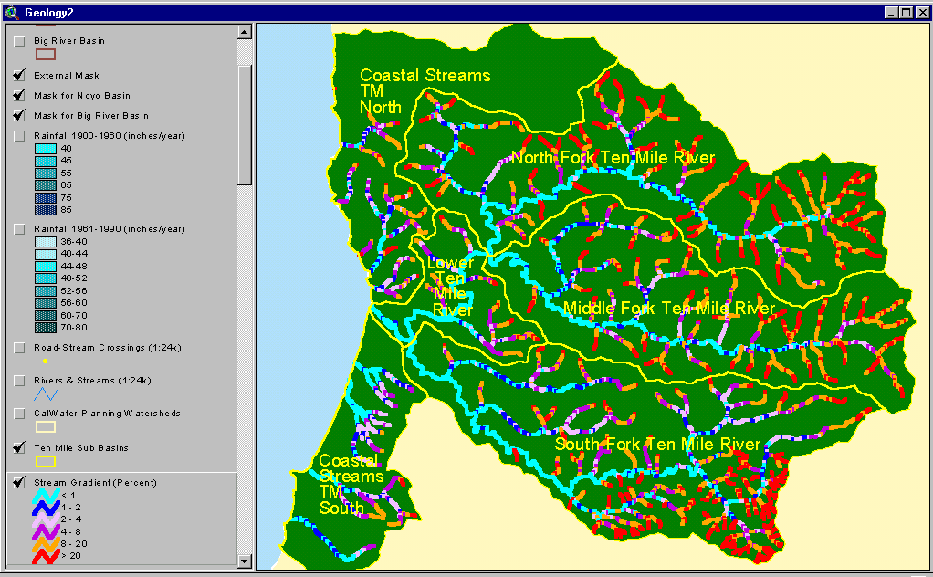 Click on image to enlarge (61K).
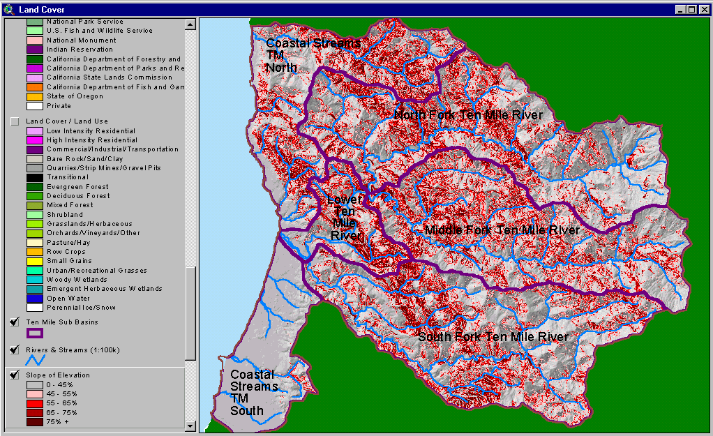 Click on image to enlarge (153K).
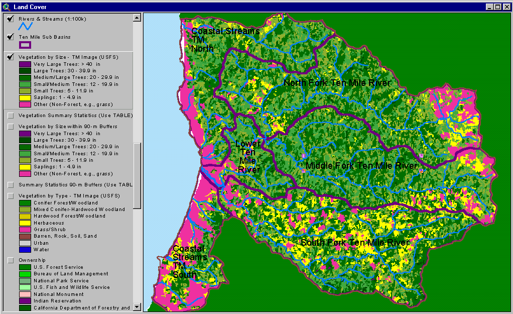 Click on image to enlarge (97K).
To learn more about this topic click here
| www.krisweb.com |