
| Area | Lower Ten Mile |
| Topic | Sediment: Fines <0.85 mm from Mill Cr (Ten1) |
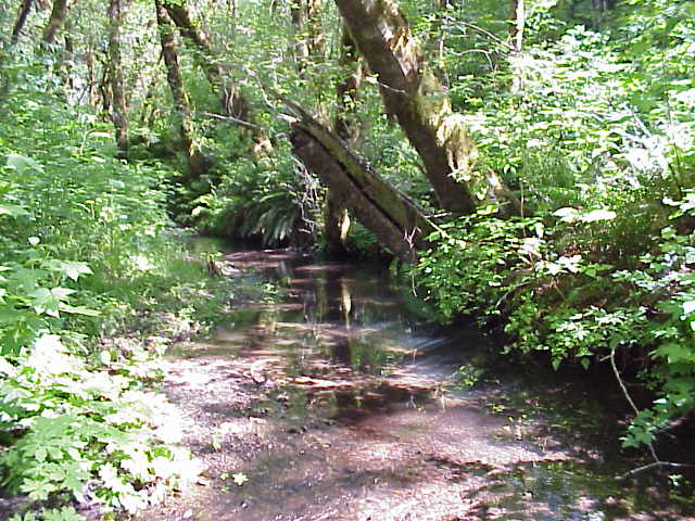
Mill Creek (TEN1), Lower Ten Mile River. Photo courtesy of Hawthorne Timber Company. Click on Picture #2 above to see a map of the sediment monitoring stations.
The image above comes from the KRIS Ten Mile Map Project and shows Cal Water Planning Watershed, and Hawthorne Timber Company monitoring sites for the Ten Mile River Basin and adjacent coastal tributaries. Ten 1 is in Mill Creek in the Lower Ten Mile Basin. Prefixes are: TEN = Lower Ten Mile River, SFT = South Fork Ten Mile River, CFT = Clark (Middle) Fork Ten Mile River, NFT = North Fork Ten Mile River, ABA = Abalobadiah Cr., and WAG = Wages Cr. Location Data provided by Hawthorne Timber Company.
 Click on image to enlarge (74K).
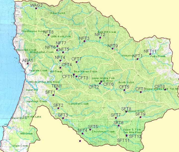 Click on image to enlarge (144K).
To learn more about this topic click here
| www.krisweb.com |