
| Area | Middle Fork Ten Mile |
| Topic | USFS VegTypes: Upper MF Ten Mile River Calwater 1994 |
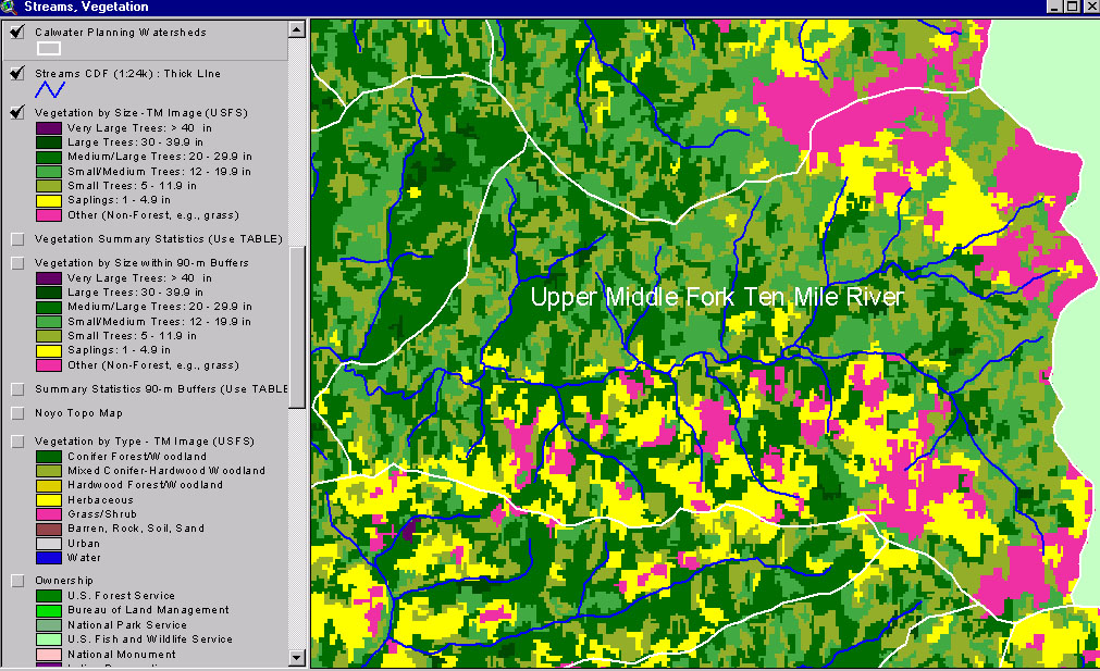
This image from the KRIS Ten Mile River Map project shows USFS vegetation and stand types for the Upper MF Ten Mile River Calwater planning watershed derived from a 1994 Landsat (see Info Links for more background information). Scale of accuracy for stands is one hectare. Natural grasslands show as contiguous Non-Forest areas along the upper ridges (at right). Substantial Small Tree, Saplings and Non-Forest suggest extensive, recent timber harvest in areas south of the Middle Fork. See next Picture for a 1999 aerial photo.
This is a 1999 aerial photo of the Patsy Creek Calwater shows the upper North Fork Ten Mile River watershed. The photo was provided by Matthews and Associates (2001). The change in contrast across the image is as a result of joining aerial photos with different shading. Grasslands which dominate much of this Calwater are partially a result of weak bedrock geology and earthflow activity.
This map view from the KRIS Ten Mile River project shows the Upper MF Ten Mile Calwater watershed but also those to the north and west. See the previous Picture for a key to colors representing forest size and vegetation types.
 Click on image to enlarge (371K).
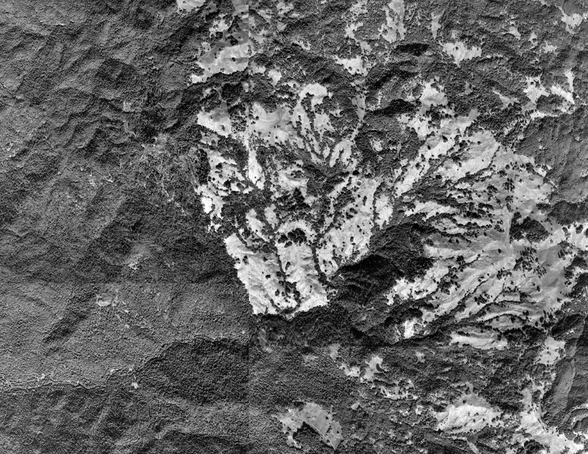 Click on image to enlarge (673K).
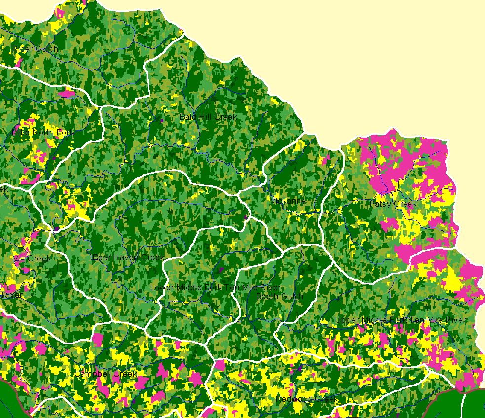 Click on image to enlarge (315K).
To learn more about this topic click here
| www.krisweb.com |