
| Area | North Fork Ten Mile |
| Topic | Tour: Aerial Photos of Timber Harvest and Roads NF Ten Mile |
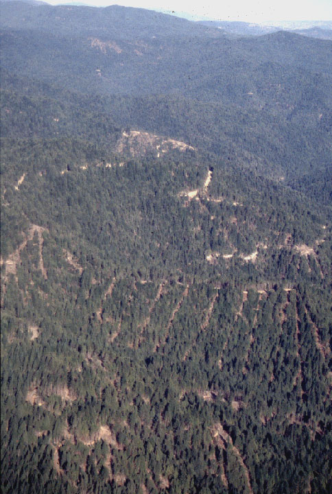
This photo shows cable yarding tracks in the North Fork Ten Mile watershed looking East. Photo taken in 1995. Pictures courtesy of Friends of the Ten Mile River.
Photo showing clearcuts in the North Fork Ten Mile watershed taken in 1998. Pictures courtesy of Friends of the Ten Mile River.
This photo shows logging roads and watershed conditions in the North Fork Ten Mile River watershed in 1995. Pictures courtesy of Friends of the Ten Mile River.
Patch clear cuts in the North Fork Ten Mile River watershed shown in a 1998 photo. Pictures courtesy of Friends of the Ten Mile River.
Patch clearcuts in the headwaters in the North Fork Ten Mile River basin, October 1996. Pictures courtesy of Friends of the Ten Mile River.
 Click on image to enlarge (127K).
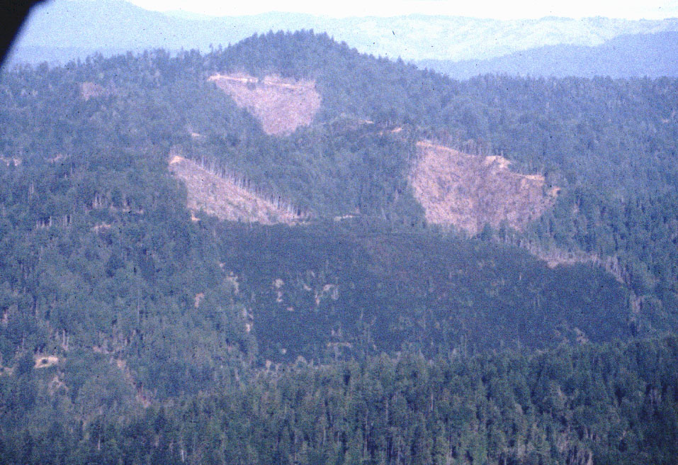 Click on image to enlarge (238K).
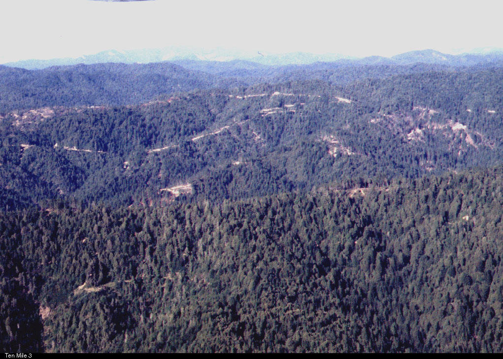 Click on image to enlarge (260K).
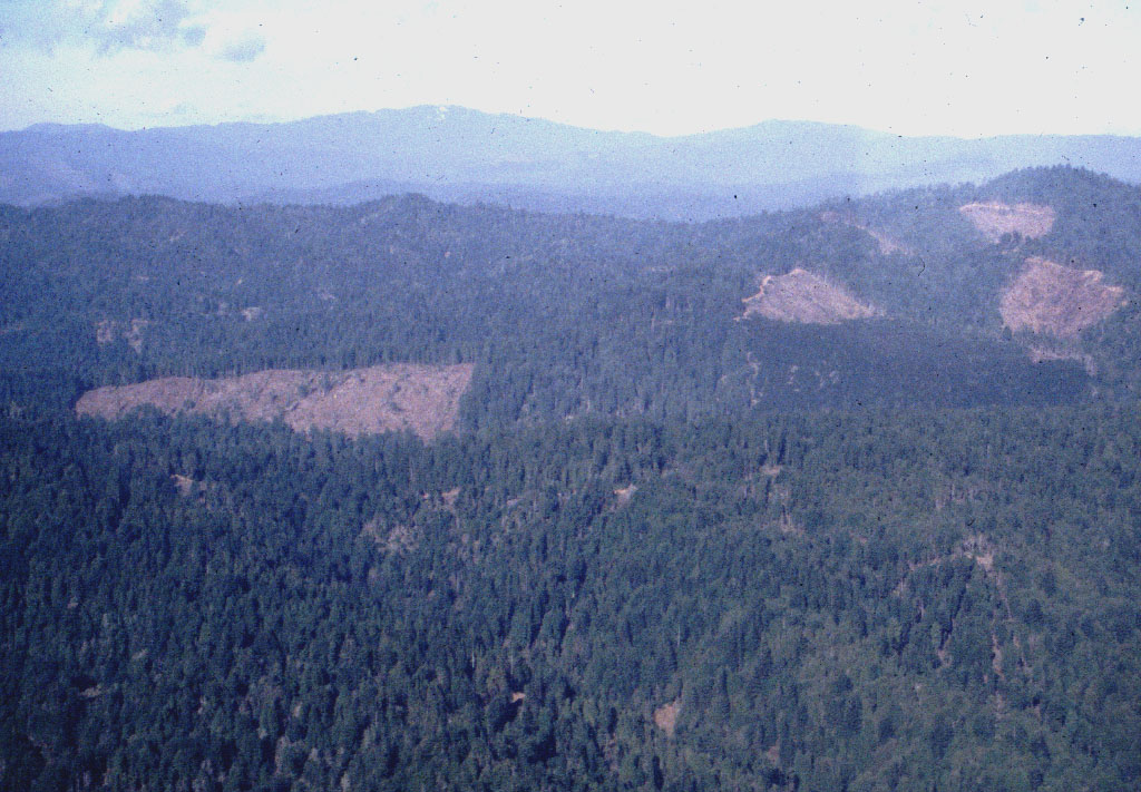 Click on image to enlarge (215K).
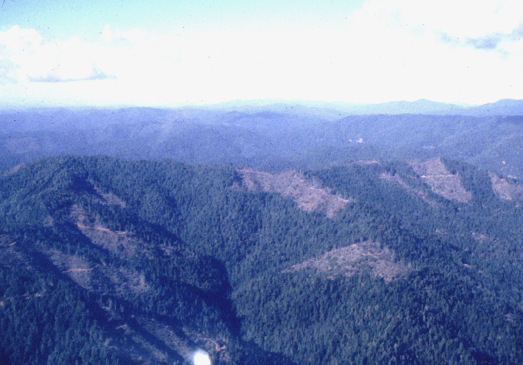 Click on image to enlarge (207K).
To learn more about this topic click here
| www.krisweb.com |