
| Area | South Fork Ten Mile |
| Topic | Temperature: All SFT Sites, MWAT by Year 1993-2001 |
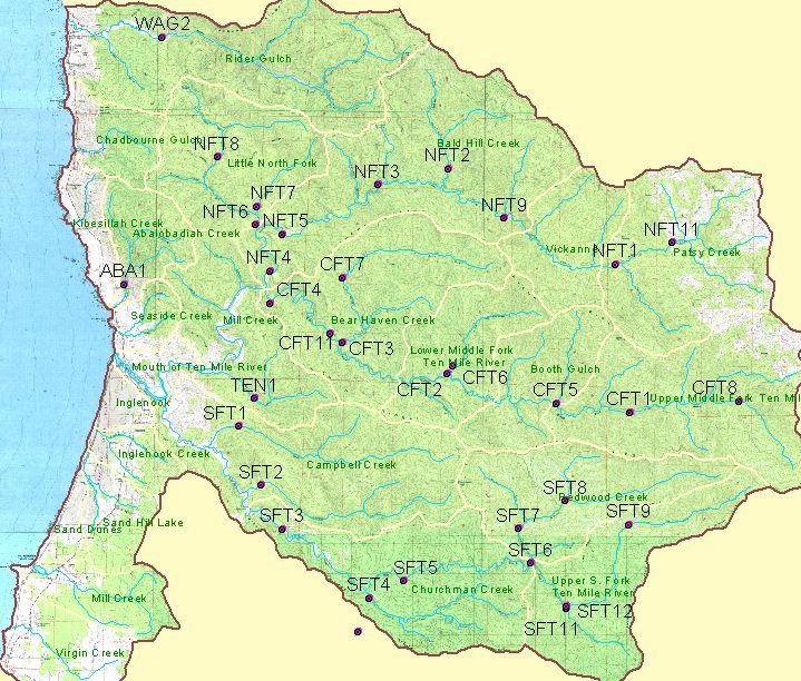
The map image above shows temperature monitoring locations in the Ten Mile River watershed established by Georgia Pacific Corp. in 1993 and maintained by Hawthorne Timber Company. Site coverage data was provided by Hawthorne Timber Company and may not include all temperature monitoring sites for which data was provided. Please see Info Links for a full key to locations.
 Click on image to enlarge (144K).
To learn more about this topic click here
| www.krisweb.com |