
| Area | South Fork Ten Mile |
| Topic | Tour: Aerial Photos of the Lower South Fork Ten Mile River |
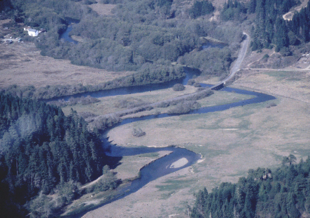
South Fork meander, entering the Mainstem. Mar, 98. See Picture #3 for the same location in a different season. Photo by Rixanne Wehren.
TM10 Confluence of SF and Mainstem, looking Southeast into the SF. Ten Mile Ranch in foreground. About bank full, after a storm. March, 98
Aerial photo of the convergence of the South Fork (at right) and mainstem Ten Mile River in fall. See Picture #1 for the same location in a different season. Photo by Rixanne Wehren.
 Click on image to enlarge (214K).
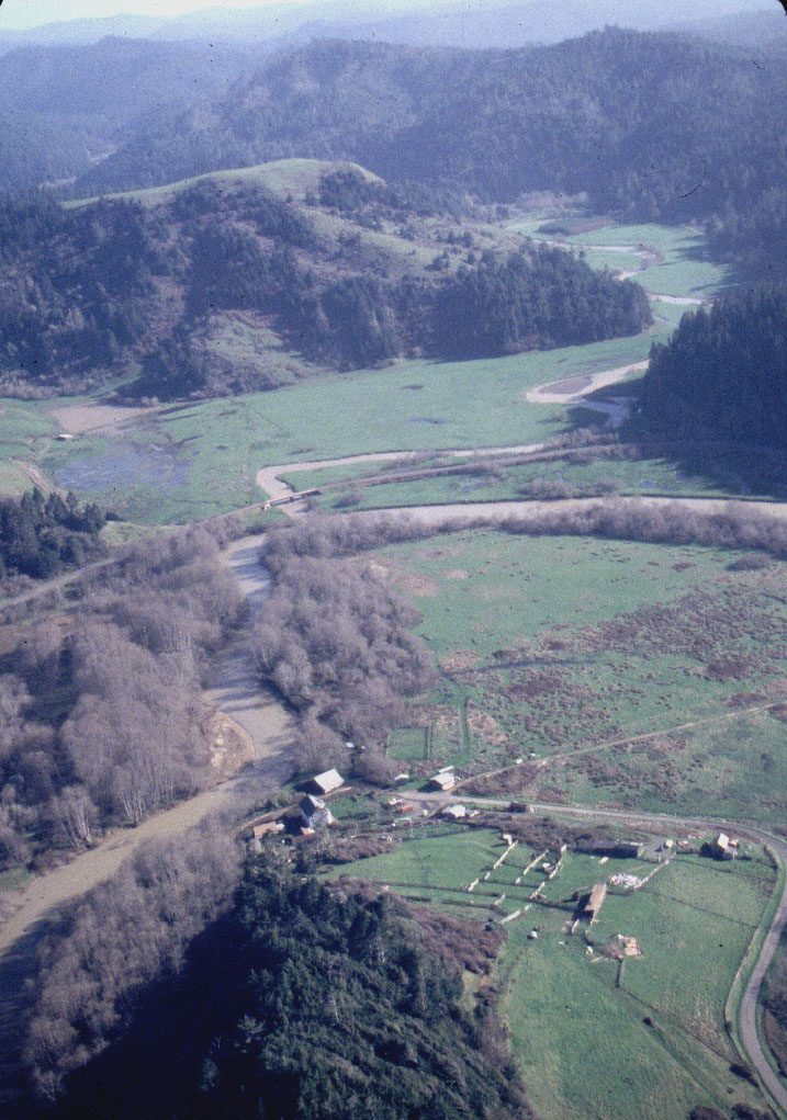 Click on image to enlarge (221K).
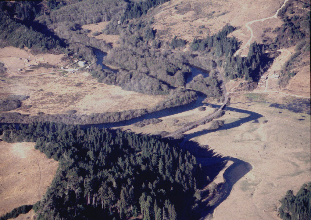 Click on image to enlarge (240K).
To learn more about this topic click here
| www.krisweb.com |