| Area | South Fork Ten Mile |
| Topic | Tour: South Fork Ten Mile River HTC Monitoring Site Photos |
Aerial view of the mouth of Big River taken in 2000. The town of Mendocino is on the left in foreground. David Russel photo
Big River Estuary in year 2000. David Russel photo
Looking up Big River Estuary at Timber Harvest Plan 1-00-405-MEN on the left, and THP 1-99-327-MEN on the right. David Russel photo
Aerial view toward Mendocino at the mouth of Big River Estuary, Pacific Ocean beyond clouds. David Russel photo
Lower Big River Estuary. In the foreground is a salt marsh, next to 120 acres of proposed clear cut timber harvest. Across the river is planned area for extensive harvest. David Russel photo
View of lower Big River Estuary. Note road cut visible on hillside. David Russel photo
Looking down on the rock quarry on the north side of Big River Estuary. THP 1-00-405-MEN is to the right of the quarry. David Russel photo
Looking up river on the lower Big River Estuary. Pre-harvest view of industrial timber property. David Russel photo
 Click on image to enlarge (74K).
 Click on image to enlarge (83K).
 Click on image to enlarge (63K).
 Click on image to enlarge (56K).
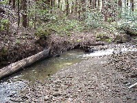 Click on image to enlarge (78K).
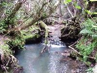 Click on image to enlarge (72K).
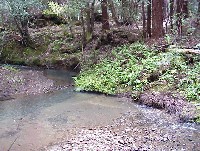 Click on image to enlarge (70K).
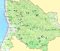 Click on image to enlarge (144K).
To learn more about this topic click here
| www.krisweb.com |
