
| Area | South Fork Ten Mile |
| Topic | Fish: Lower Smith Creek (SFT1) Catch, 1993-2000 |
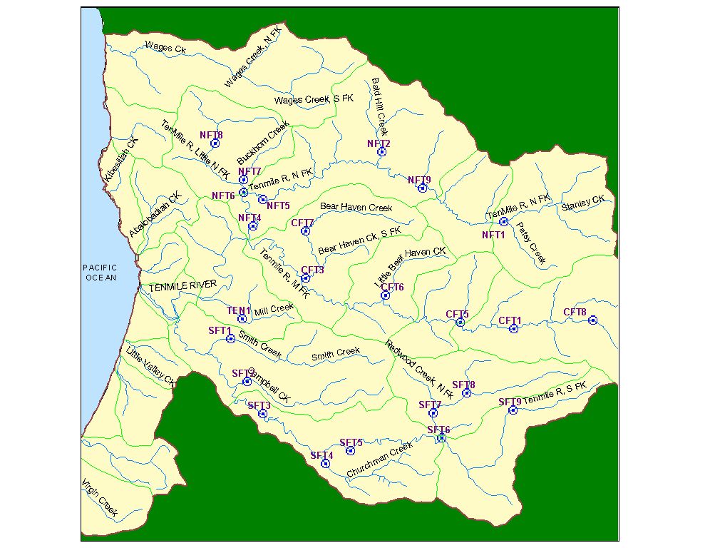
The image above shows the location and Site ID for twenty-four aquatic vertebrate sampling stations in the Ten Mile River watershed. Stations were established by Georgia-Pacific in 1993, and are currently monitored by Campbell Timberland Management for Hawthorne Timber Company. See Info Links for site descriptions and sampling methodology. Use "Pan" for best resolution of map image.
This photo shows some of the habitat included in aquatic vertebrate sampling at site SFT1. Photo by David Hines, May 2000.
 Click on image to enlarge (140K).
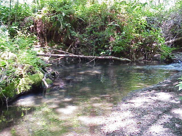 Click on image to enlarge (74K).
To learn more about this topic click here
| www.krisweb.com |