| Area |
Regional |
| Topic |
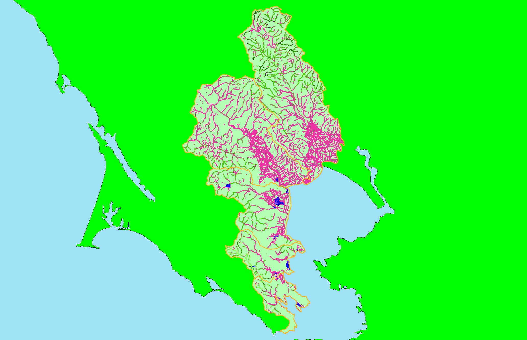
Map: 1J. USFS Riparian Vegetation Size, East Marin-Sonoma |
|
This is a map of 1999 USFS Landsat vegetation size data within 90-meter riparian buffer zones in the KRIS East Marin-Sonoma project area. Not surprisingly,
reaches of streams flowing through grasslands often have Non-Forest riparian zones. This may be partially due to grazing and agricultural management practices, as
well as urbanization. Data provided by the U.S. Forest Service Spatial Analysis Lab in Sacramento, CA. The vegetation classification is accurate at a one-hectare
scale (approximately 11 pixels) and is suitable for stand classification.
|
|
|
 |
 |
To view metadata about a map layer, click on a link in the table below.
| Name of Layer in Map Legend | Metadata File Name |
|---|
| Subbasins (no labels) | subbasins.shp.txt |
| Frame Project Outline | Unavailable |
| Lakes and Reservoirs (Marin only) | Unavailable |
| USFS Riparian Veg Size (1999) | vegsizebuf99.tif.txt |
| Project Background | Unavailable |
If you obtain KRIS on a CD and install it on your hard drive as a desktop program, you will have access to increased map capabilities such as zooming in/out, turning layers on/off, adding layers and changing legends.
