| Area |
Corte Madera Creek |
| Topic |
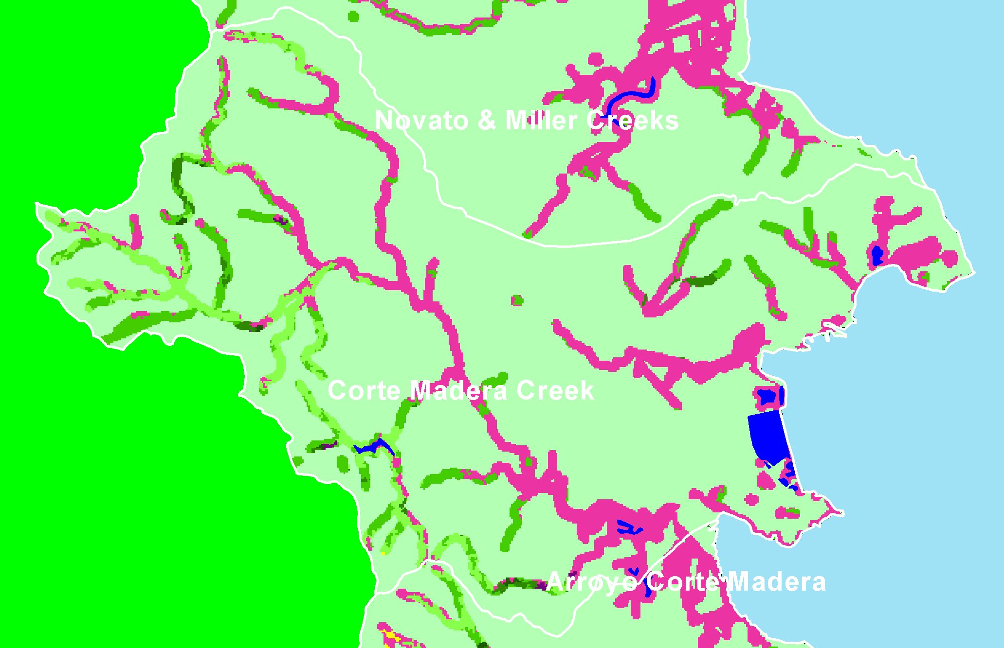
Map: 1E. USFS Riparian Vegetation Size, Corte Madera Creek Sub-basin |
|
This is a map of 1999 USFS Landsat vegetation size data within 90-meter riparian buffer zones in the Sonoma Creek sub-basin. Riparian zones in the lower
watershed were primarily non-forest, but there were some forested riparian zones in the upper watershed. Data provided by the U.S. Forest Service Spatial
Analysis Lab in Sacramento, CA. The vegetation classification is accurate at a one-hectare scale (approximately 11 pixels) and is suitable for stand classification.
|
|
|
 |
 |
To view metadata about a map layer, click on a link in the table below.
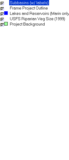
| Name of Layer in Map Legend | Metadata File Name |
|---|
| Subbasins (w/ labels) | subbasins.shp.txt |
| Frame Project Outline | Unavailable |
| Lakes and Reservoirs (Marin only) | Unavailable |
| USFS Riparian Veg Size (1999) | vegsizebuf99.tif.txt |
| Project Background | Unavailable |
If you obtain KRIS on a CD and install it on your hard drive as a desktop program, you will have access to increased map capabilities such as zooming in/out, turning layers on/off, adding layers and changing legends.
