| Area |
Novato and Miller Creeks |
| Topic |
Fish: Dive Survey in Miller Creek August 2002 |
To view a more detailed version of this map click
here
|
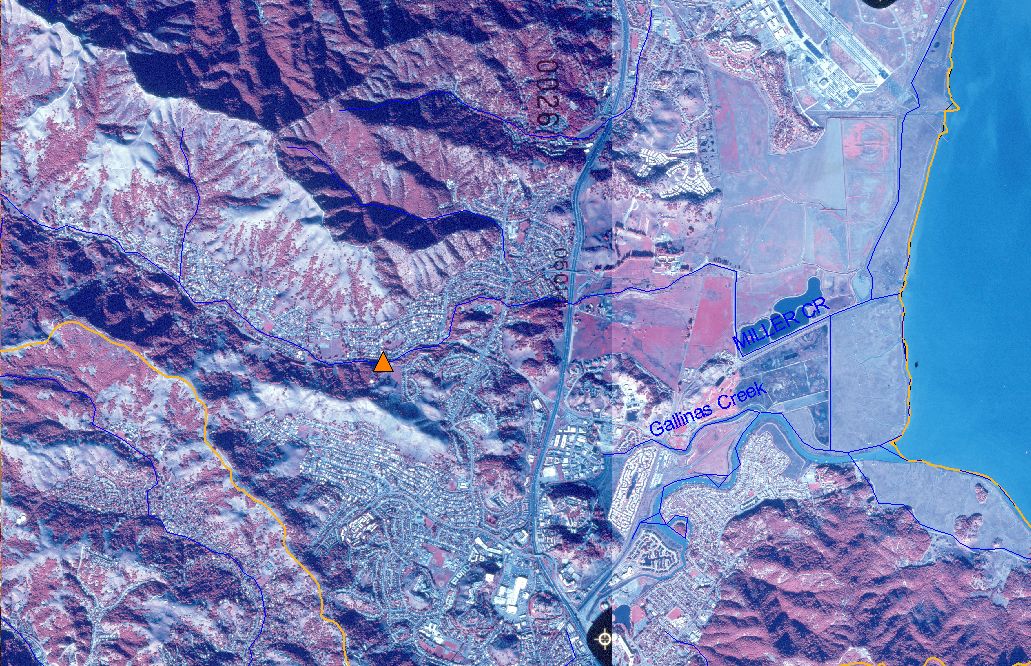
This map shows the location of reach in which six pools were surveyed during an August 2002 fish behavior study in Miller Creek. The survey was conducted by
Humboldt State University student Nick Simpson, and map was created by KRIS staff. Scale = 1:48,393 .
|
|
|
 |
 |
To view metadata about a map layer, click on a link in the table below.
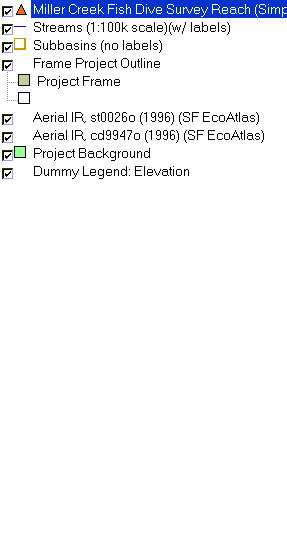
| Name of Layer in Map Legend | Metadata File Name |
|---|
| Miller Creek Fish Dive Survey Reach (Simpson)(2002) | simpson_fish_pts.shp.txt |
| Streams (1:100k scale)(w/ labels) | streams100.shp.txt |
| Subbasins (no labels) | subbasins.shp.txt |
| Frame Project Outline | Unavailable |
| Aerial IR, st0026o (1996) (SF EcoAtlas) | Unavailable |
| Aerial IR, cd9947o (1996) (SF EcoAtlas) | Unavailable |
| Project Background | Unavailable |
| Dummy Legend: Elevation | hillshade12.shp.txt |
If you obtain KRIS on a CD and install it on your hard drive as a desktop program, you will have access to increased map capabilities such as zooming in/out, turning layers on/off, adding layers and changing legends.
