| Area |
Petaluma River |
| Topic |
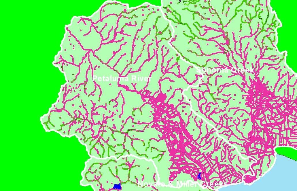
Map: 1E. USFS Riparian Vegetation Size, Petaluma River Sub-basin |
To view a more detailed version of this map click
here
|
This is a map of 1999 USFS Landsat vegetation size data within 90-meter riparian buffer zones in the Petaluma River sub-basin. Riparian zones in the lower
watershed were primarily non-forest, but there were some forested riparian zones in the headwaters of tributary streams, especially San Antonio Creek. Data
provided by the U.S. Forest Service Spatial Analysis Lab in Sacramento, CA. The vegetation classification is accurate at a one-hectare scale (approximately 11
pixels) and is suitable for stand classification.
|
|
|
 |
 |
To view metadata about a map layer, click on a link in the table below.
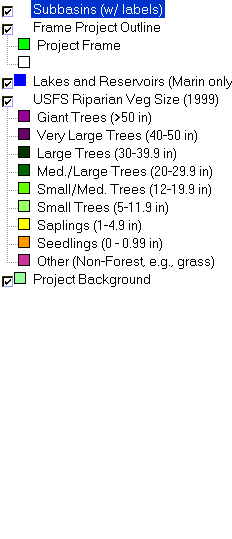
| Name of Layer in Map Legend | Metadata File Name |
|---|
| Subbasins (w/ labels) | subbasins.shp.txt |
| Frame Project Outline | Unavailable |
| Lakes and Reservoirs (Marin only) | Unavailable |
| USFS Riparian Veg Size (1999) | vegsizebuf99.tif.txt |
| Project Background | Unavailable |
If you obtain KRIS on a CD and install it on your hard drive as a desktop program, you will have access to increased map capabilities such as zooming in/out, turning layers on/off, adding layers and changing legends.
