| Area |
Sonoma Creek |
| Topic |
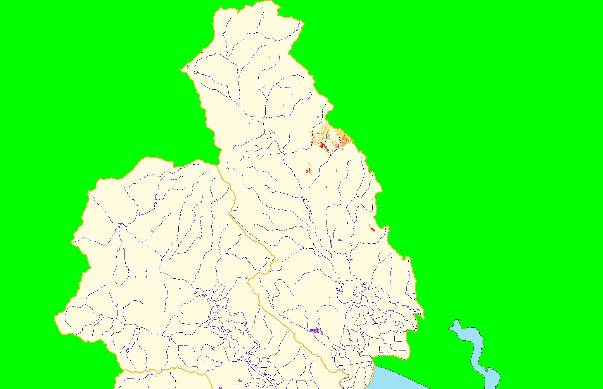
Map: 1F. Vegetation Change, Sonoma Creek 1994-1998 |
|
This is a map of vegetation change between 1994 and 1998 in the Sonoma Creek sub-basin. The tan and red patches on the middle-eastern boundary of the Sonoma
Creek sub-basin indicate one of the few significant changes in canopy cover in the project area. Fire or agricultural expansion are possible causes of the canopy
loss. Vegetation change data were derived from Landsat satellite images by the U.S. Forest Service Spatial Analysis Lab in Sacramento, CA.
|
|
|
 |
 |
To view metadata about a map layer, click on a link in the table below.
| Name of Layer in Map Legend | Metadata File Name |
|---|
| Subbasins (no labels) | subbasins.shp.txt |
| Frame Project Outline | Unavailable |
| Streams (1:100k scale)(no labels) | streams100.shp.txt |
| Change in Veget. (1994-98)(TIFF) | vegchg.tif.txt |
| Project Background | Unavailable |
If you obtain KRIS on a CD and install it on your hard drive as a desktop program, you will have access to increased map capabilities such as zooming in/out, turning layers on/off, adding layers and changing legends.
