| Area |
Basin-wide |
| Topic |
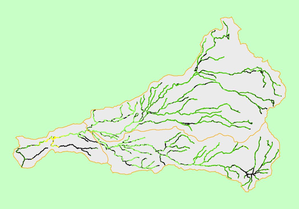
Map: 1L Vegetation Type, Battle Creek Basin |
To view a more detailed version of this map click
here
|
This is a map of 1996 vegetation type data in the Battle Creek basin, displayed with KRIS sub-basins. The vegetation type classifications were derived from Landsat
multi-spectral images. Stand conditions are accurately represented at the one hectare scale. Herbaceous and hardwood signatures dominate in the low-elevation
western portion of the basin. Conifers dominate the mid and high elevations in the eastern watershed, but change to Mixed Conifer-Hardwood Woodland on private
timber lands related to more active silviculture than on public lands. Data were provided by the U.S. Forest Service Pacific Southwest Region Remote Sensing Lab, in
cooperation with the California Department of Forestry.
|
|
|
 |
 |
To view metadata about a map layer, click on a link in the table below.
