
| Area | Basin-wide |
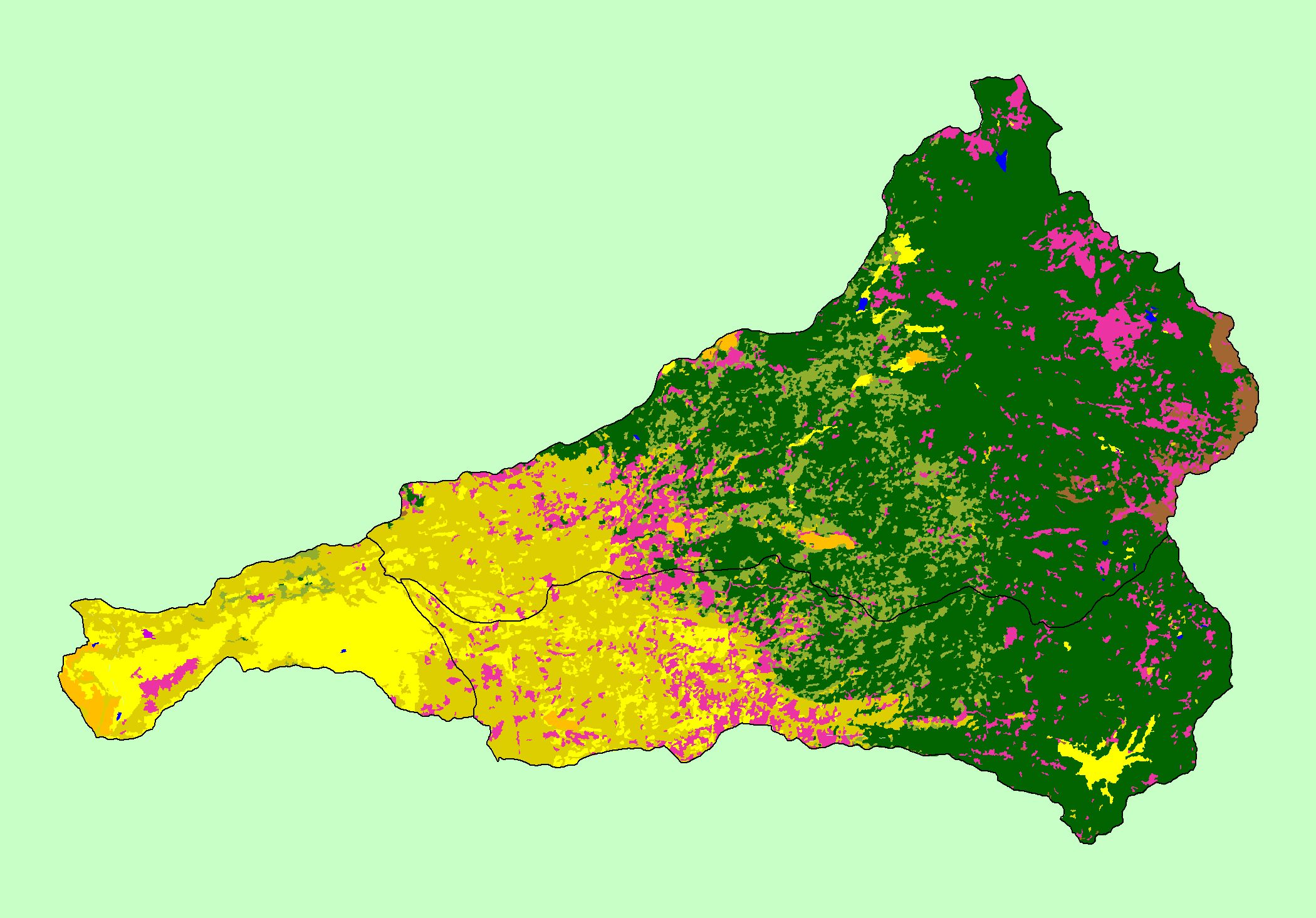
| Topic | Map: 1O Wildfires, Battle Creek Basin |
| This is a map of the wildfires that occurred in the Battle Creek basin are surrounding areas from the early 1900's to 1997, displayed along with 1:100,000 scale USGS hydrography an elevation hillshade, and KRIS sub-basins. Data were contributed by Chico State University and Lassen National Forest. | |||
 |
 |
||
To view metadata about a map layer, click on a link in the table below.
| Name of Layer in Map Legend | Metadata File Name |
|---|---|
| Streams (1:100k scale)(no labels) | stms100.shp.txt |
| Sub-basins (no labels) | subbasins.shp.txt |
| Fires (1997) [Lassen NF] | fire97.shp.txt |
| Grayscale Hillshade | grayscale_light.tif.txt |
| www.krisweb.com |