| Area |
Basin-wide |
| Topic |
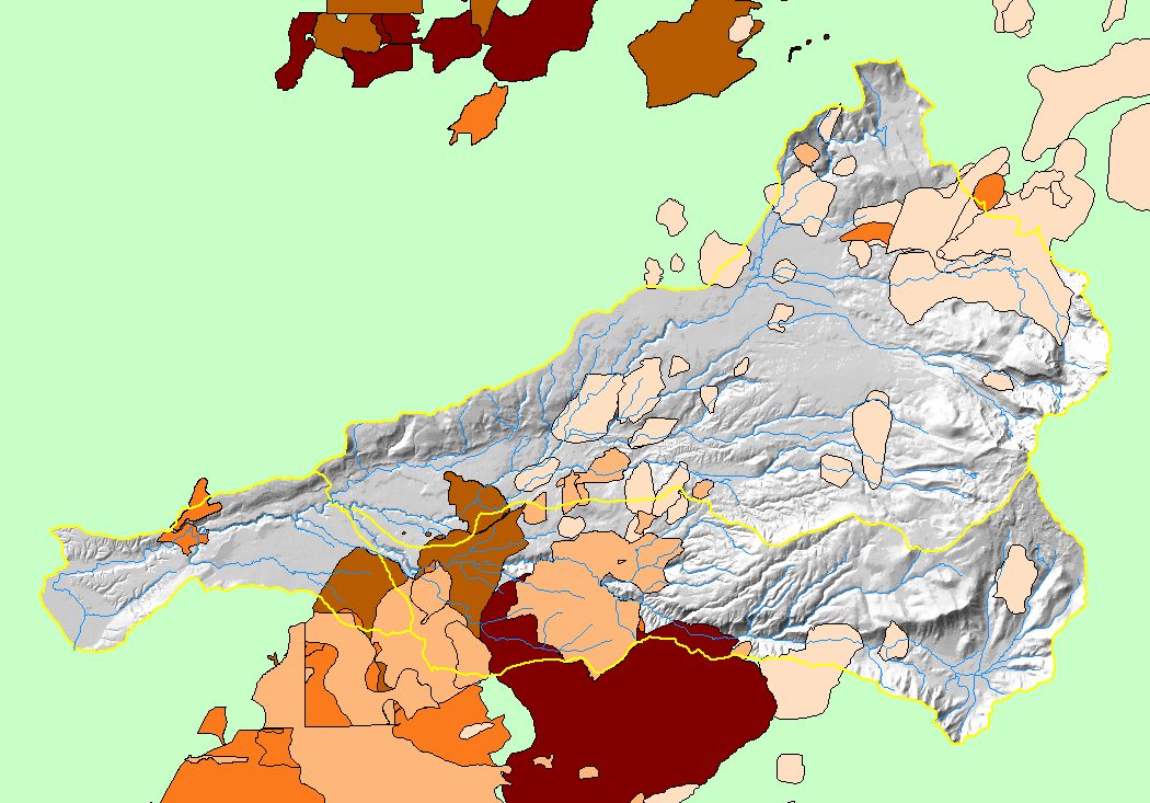
Map: 1P Precipitation, Battle Creek Basin |
To view a more detailed version of this map click
here
|
This is a map of annual precipitation in the Battle Creek basin based on a model output derived by the Oregon Climate Service at Oregon State University. The model
was based on 1961-1990 rainfall data. There is a great variation in precipitation in the watershed, with the western low elevations receiving 25 inches and over 90" on
the shoulders of Mt. Lassen. Precipitation is greatest in the eastern watershed where elevation is highest because of the orographic effect (i.e. as storms pass over
higher spots the cool air increases precipitation).
|
|
|
 |
 |
To view metadata about a map layer, click on a link in the table below.
