| Area |
Basin-wide |
| Topic |
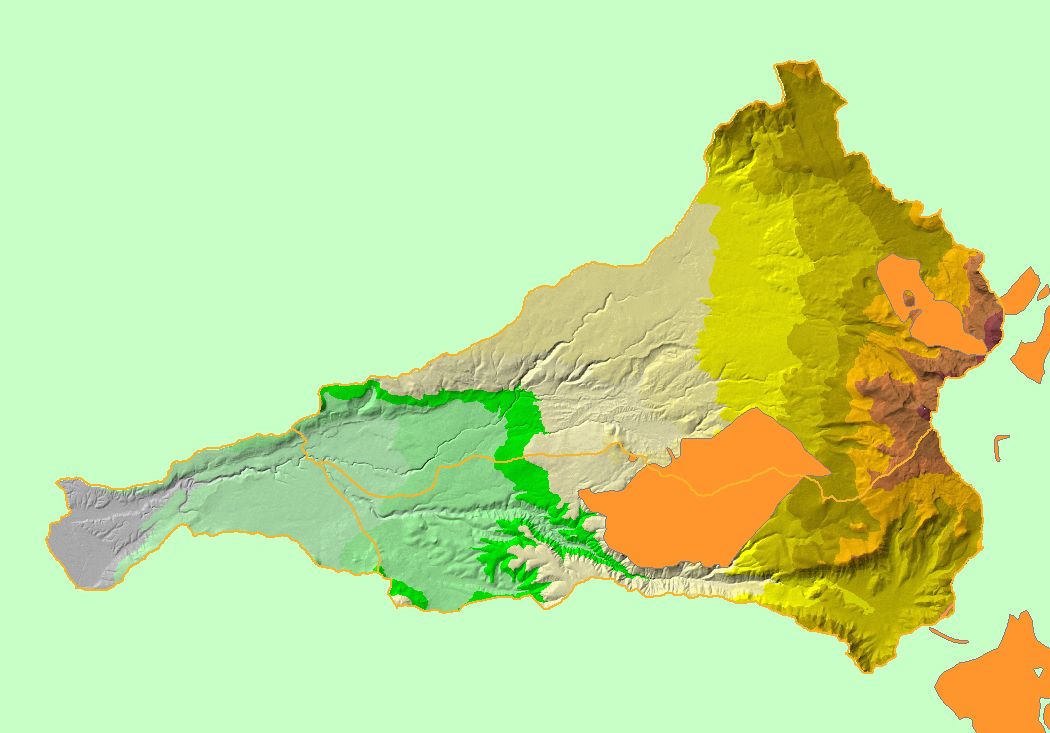
Map: 1S Slope, Battle Creek Basin |
To view a more detailed version of this map click
here
|
This map shows slope steepness in the Battle Creek basin, draped over an elevation hillshade and displayed with 1:100,000 scale streams and KRIS sub-basins. Two of
the steepest locations in the watershed are the South Fork Battle Creek Canyon and the eastern headwaters of the North Fork Battle Creek near Mount Lassen. Data
were provided by the U.S. Geological Survey.
|
|
|
 |
 |
To view metadata about a map layer, click on a link in the table below.
