|
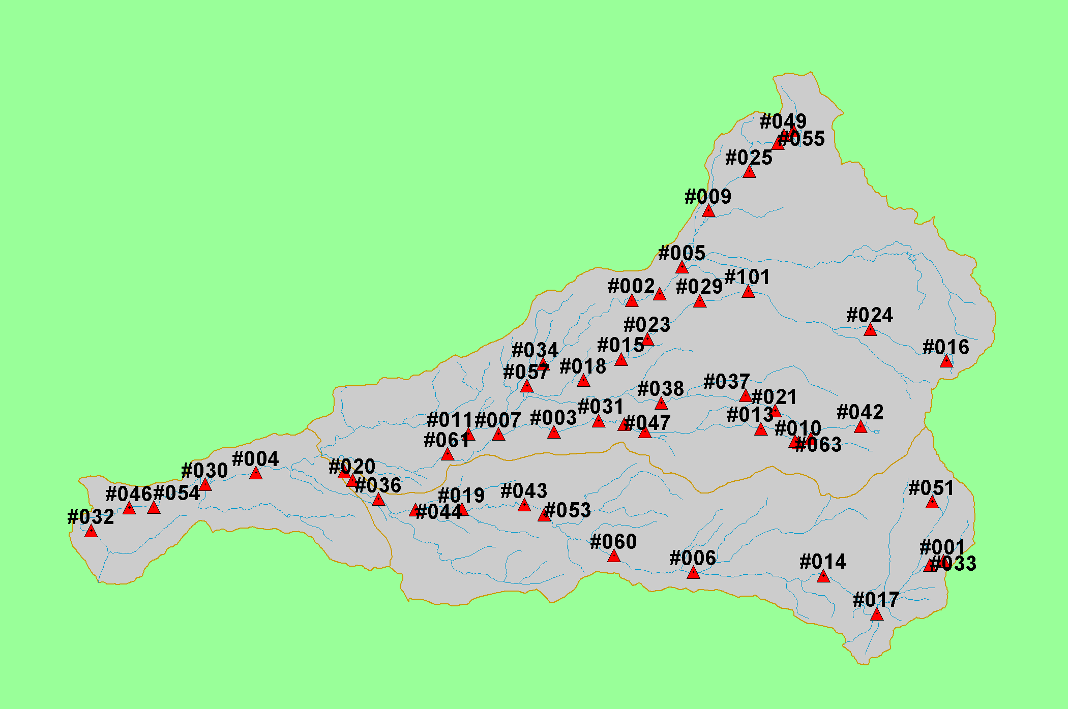
This map shows the areas in the Battle Creek basin where rhyolite geology predominates, displayed with KRIS sub-basins, 1:100,000 scale streams, and an elevation
hillshade. Rhyolite soils have high potential for erosion and the USFS policy is to avoid managing these areas because of elevated risk of soil loss (Napper, 2001). Also
shown are locations sampled as part of the Battle Creek Watershed Assessment (Terraqua, 2004). Geology data were provided by the U.S. Geological Survey. Click
the check box next to a layer to toggle it on/off. Available layers include Slope, Topographic Map, Grayscale Hillshade, and Soil Erodibility. Scale = 1:149,335 .
|
|