|
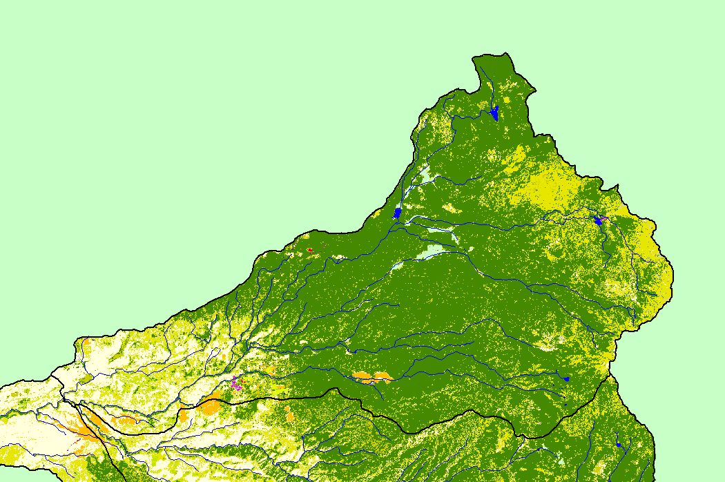
This is a map of the 1992 Environmental Protection Agency Landcover/Landuse in the North Fork Battle sub-basin, displayed along with 1:100,000 scale streams and
KRIS sub-basins. These data are derived from a 1992 Landsat image. Landcover shows clear trends related to elevation and topography. Many of the flat valleys along
streams are covered in agriculture (pale orange). Lower elevations are dominated by shrubs, grasslands, and hardwood forest, while higher elevations contain mostly
conifers (dark green) and mixed forest. See Info Links for more information. Scale = 1:224,680 .
|
|