
| Area | South Fork Battle |
| Topic | Tour: Reconnaissance Martin Creek above Battle Creek Meadows 2002 |
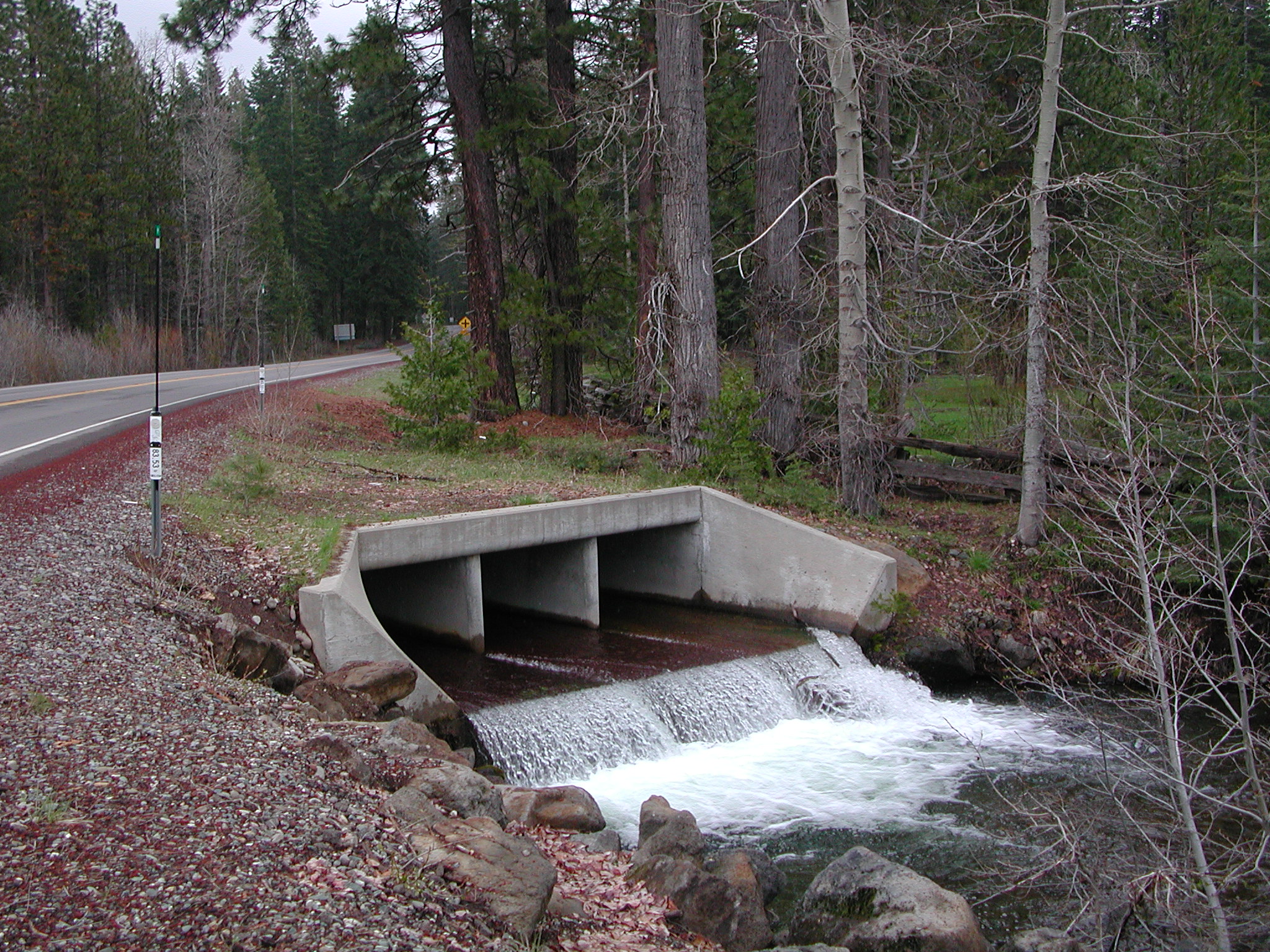
Martin Creek is a tributary of the South Fork Battle Creek, which it joins in Battle Creek Meadows. The creek is shown here crossing under Highway 36. While the flat cement surface in the culverts under the bridge might make passage upstream problematic at certain flows for adult trout, the hole formed at the bottom has a bubble curtain and some depth to provide cover for fish. Photo provided courtesy of Pat and Diane Higgins. 4/30/02.
This photo shows bank erosion along Martin Creek just downstream of the box culvert bridge under Highway 36. This photo was taken at the same location as Picture #1 but looking downstream. The force of the stream coming out of the culvert at high flows may be contributing to the erosion problem, although lack of dense riparian cover makes the bank more susceptible. Photo provided courtesy of Pat and Diane Higgins. 4/30/02.
Martin Creek looking upstream off Highway 36. Note the ramp like structures at lower right, which are designed to keep logs or limbs from plugging the box culverts that pass the creek under the highway. The willows on the banks prevent erosion. The small tributary at left is likely return flow from irrigation. Photo provided courtesy of Pat and Diane Higgins. 4/30/02.
The picture above shows Martin Creek just down from the location shown in Picture #3 flowing through patches of forest. Note that pine, fir, cedar and willow are all growing in the riparian zone. Photo provided courtesy of Pat and Diane Higgins. 4/30/02.
Martin Creek above Battle Creek Meadows but just below Highway 36, which is out of the view to the right. Willow trees in the riparian zone prevent bank erosion in this reach. They also provide cover for fish in summer and a source of food as terrestrial insects fall from their branches. The habitat is a high gradient riffle at bottom left and in the distance with a small boulder formed pool in between. Photo provided courtesy of Pat and Diane Higgins. 4/30/02.
Martin Creek just above Highway 172 with raw banks capable of contributing sediment at left, although they are partially held by roots of cedar and pine. Blonde color on stream bottom in the lower center of photo is fine sediment in transport. Photo provided courtesy of Pat and Diane Higgins. 4/30/02.
Martin Creek flowing into Battle Creek Meadows shows problems with bank erosion on the meadow side. Note coniferous forest with large pine tree at right. Photo provided courtesy of Pat and Diane Higgins. 4/30/02.
This close up of the substrate of Martin Creek shows large angular material likely deposited from upland erosion in the last several decades. The fine sediment coating it suggests an active source of this material somewhere upstream. Photo provided courtesy of Pat and Diane Higgins. 4/30/02.
 Click on image to enlarge (1,172K).
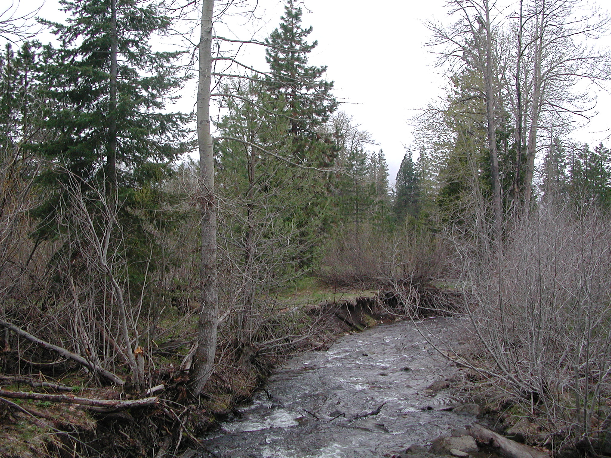 Click on image to enlarge (1,160K).
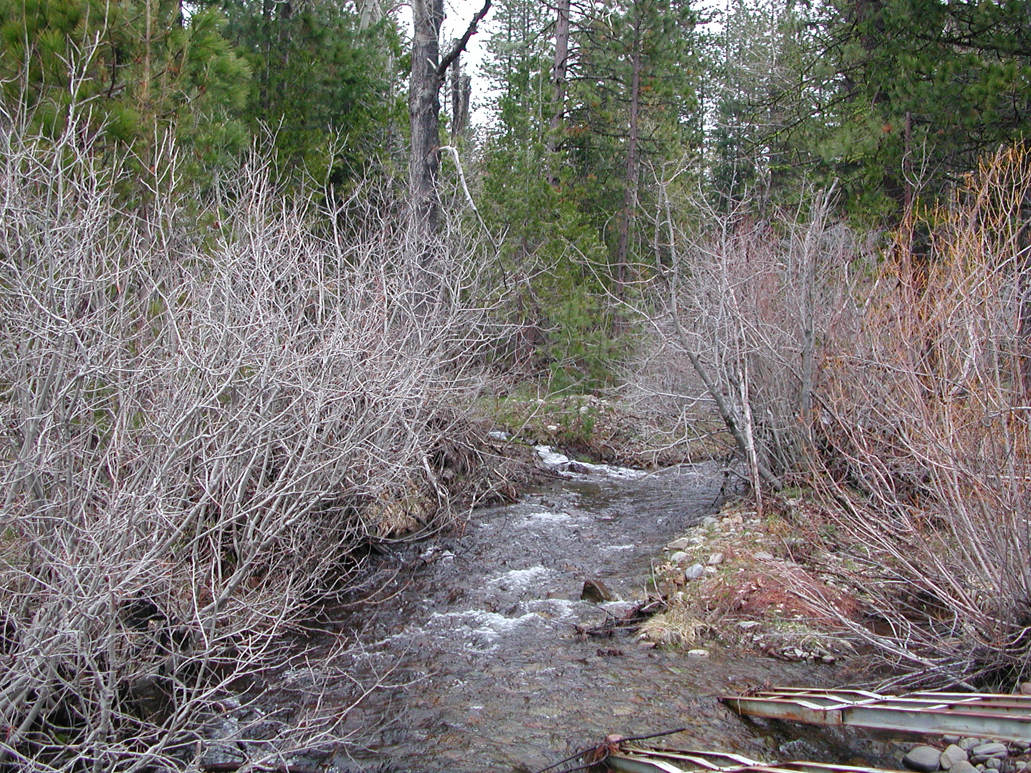 Click on image to enlarge (1,267K).
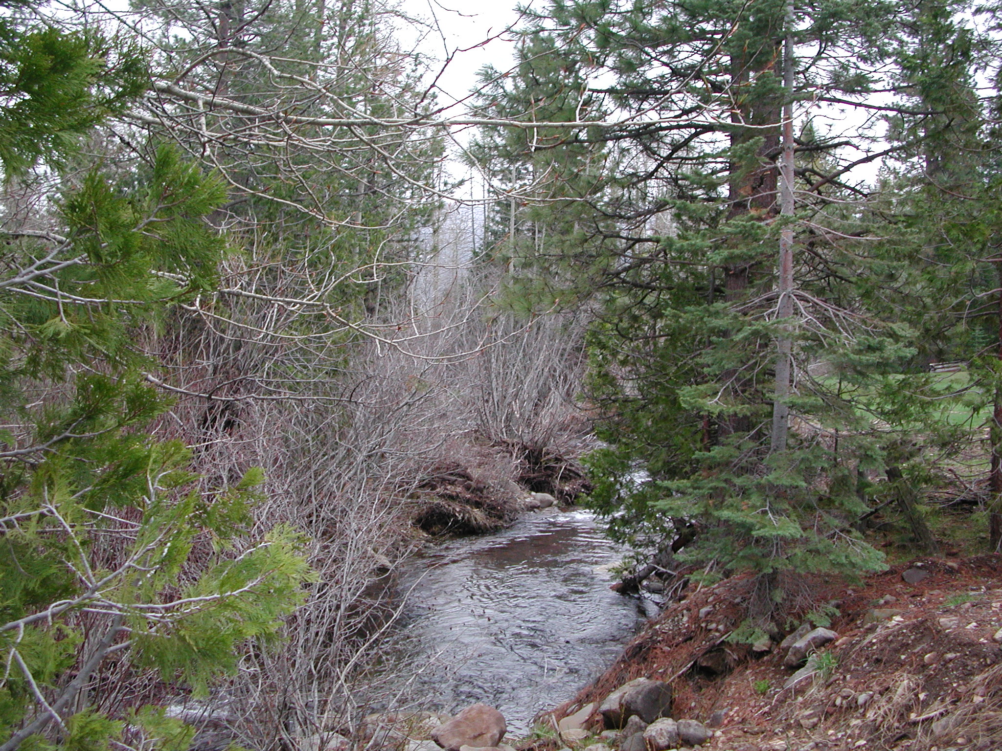 Click on image to enlarge (1,196K).
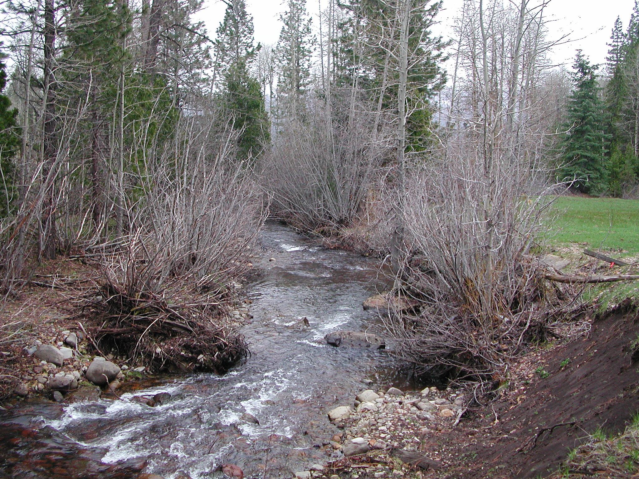 Click on image to enlarge (1,214K).
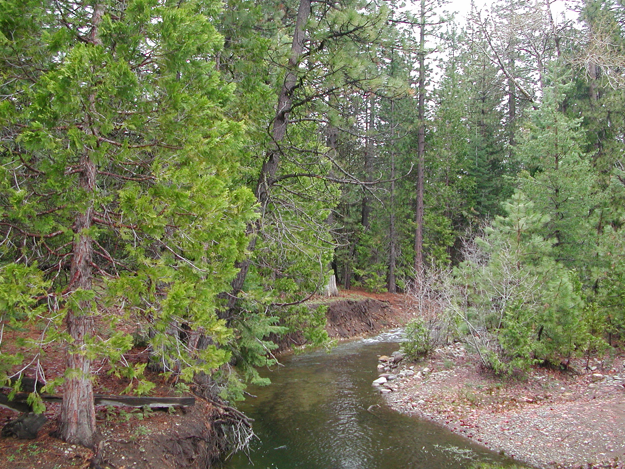 Click on image to enlarge (1,218K).
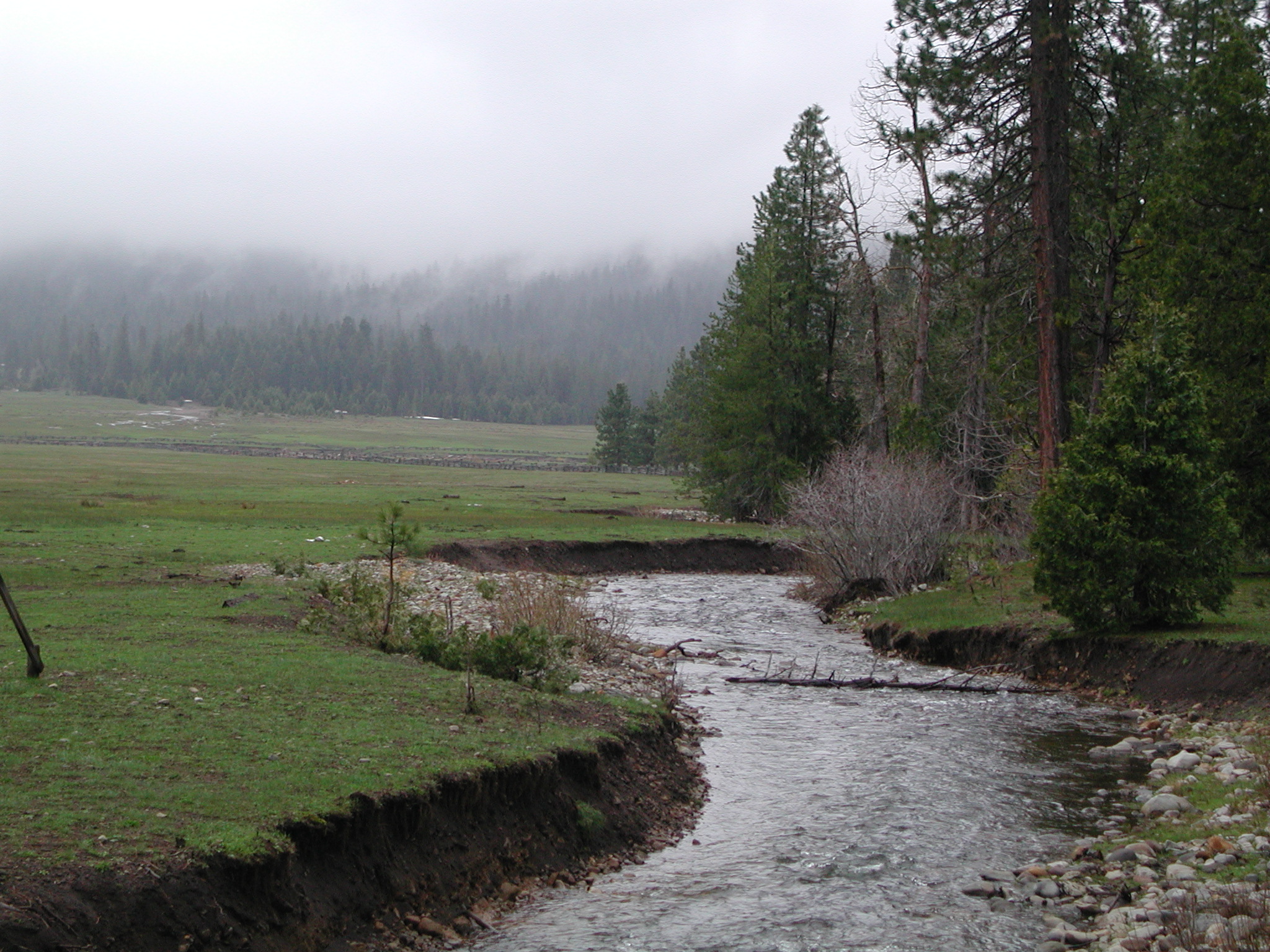 Click on image to enlarge (1,066K).
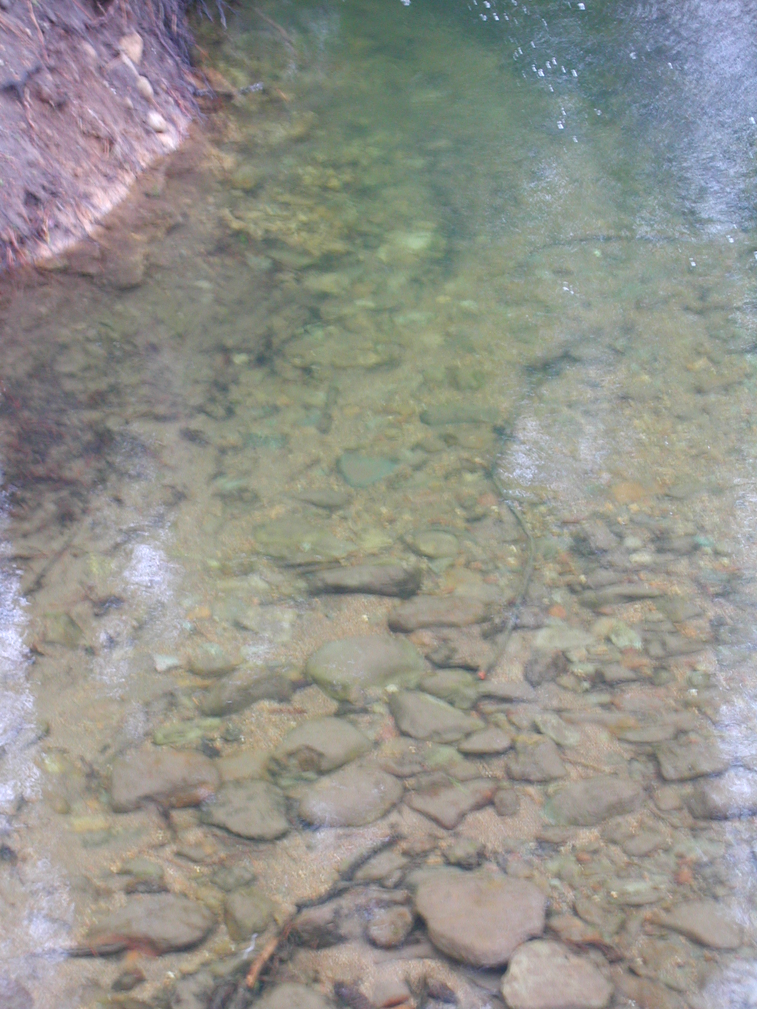 Click on image to enlarge (1,250K).
To view additional information (data source, aquisition date etc.) about this page, click Metadata
| www.krisweb.com |