
| Area | Buckeye Creek |
| Topic | USFS Riparian Tree Size Classes: Flat Ridge Creek CalWater 1994 |
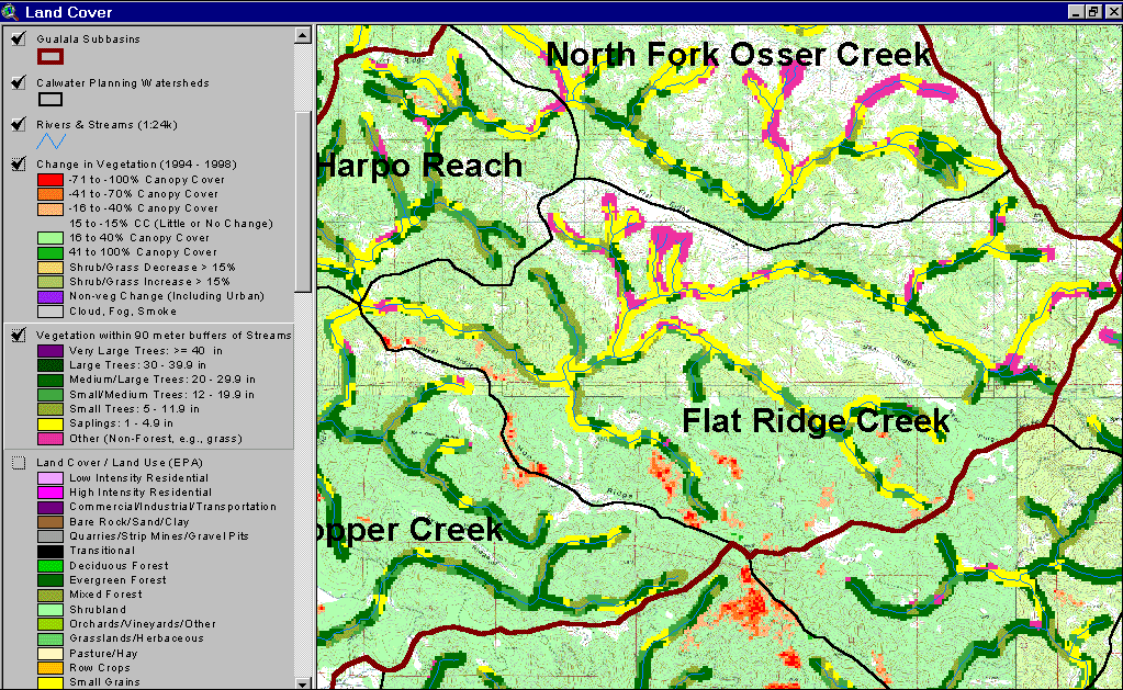
The image above shows USFS vegetation stand types for the riparian zone of the Flat Ridge Creek Calwater planning watershed based on a 1994 Landsat image. The stand types are only accurate at the one-hectare scale and the buffer width is 90 meters. Much of the riparian shows as Non-Forest, Saplings and Small Trees as a result of natural grasslands in the Central Belt Franciscan mťlange terrain. See Info Links for more information. Taken from the KRIS Gualala Map project.
 Click on image to enlarge (182K).
To learn more about this topic click Info Links
| www.krisweb.com |