| Area |
Buckeye Creek |
| Topic |
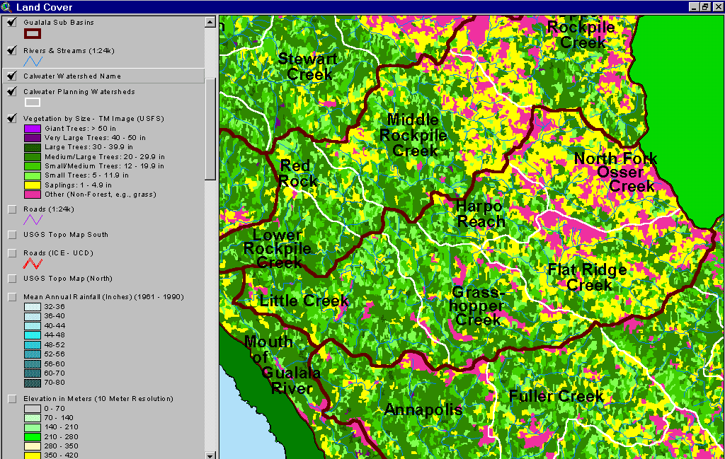
USFS Tree Size Classes: Harpo Reach CalWater 1994 |
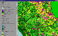 Click on image to enlarge (106K).
The image above shows USFS vegetation stand types for all Buckeye Creek Calwater planning watersheds based on a 1994 Landsat image. The stand types are only accurate at the one-hectare scale. The largest vegetative component of the western watershed as of 1994 was Medium-Large Trees (20-29.9" diameter), although recently logged areas there show as patches of Non-Forest and Saplings (<5" diameter). The eastern portion of the Buckeye basin has a naturally high component of small trees and Non Forest due to mélange terrain. See Info Links for more information. Taken from the KRIS Gualala Map project.
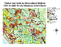 Click on image to enlarge (111K). Click here to display a larger version (315K).
The image above shows timber harvests between 1991 and 2001 from the California Department of Forestry for all Buckeye Creek Calwaters, including the Harpo Reach. The outlines of some THPs show clearly as polygons of saplings or non-forest on the USFS vegetation coverage (see Picture #1). From the KRIS Gualala Map project.
To learn more about this topic click Info Links

 Click on image to enlarge (106K).
 Click on image to enlarge (111K). Click here to display a larger version (315K).
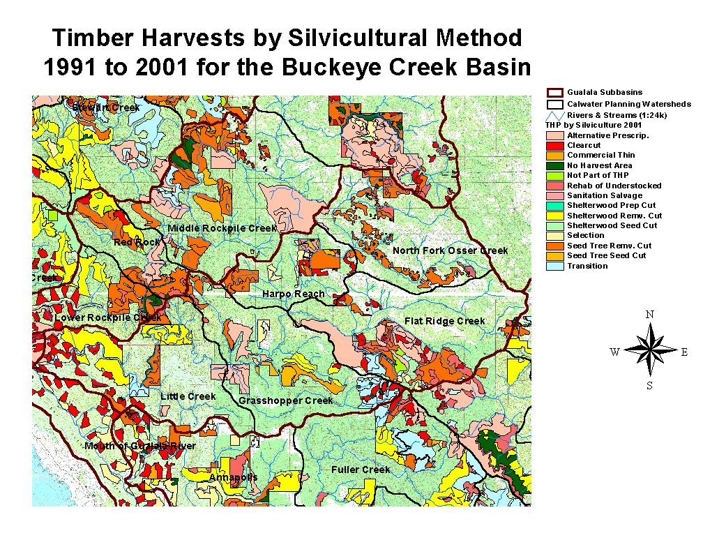