
| Area | Buckeye Creek |
| Topic | Temperature: Seasonal Maxima for Buckeye Creek Celsius 1994-2001 |
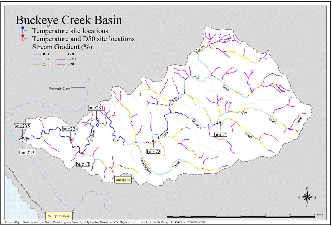
The map image above was provided by the North Coast Regional Water Quality Control Board and shows monitoring sites for temperature and sediment (D50) in Buckeye Creek, tributary to the Gualala River.
 Click on image to enlarge (171K).
To learn more about this topic click Info Links
| www.krisweb.com |