
| Area | Basin-wide/General |
| Topic | Tour: Gualala Historical Photos of Streams/Landscapes (Fiscus) |
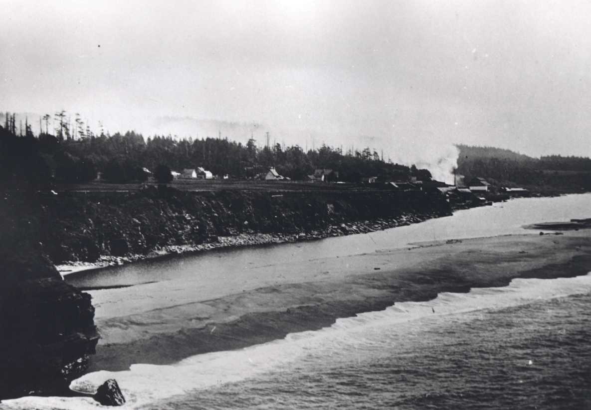
Ocean in foreground with the estuary or lagoon in the back and the town of Gualala in distance. The river is spilling to the south at the far right of photo. Use of photo allowed by Alice Fiscus and the Fiscus family. Provided for use in KRIS by Ken Spacek.
Ferry across the Gualala estuary with the mill in the background. Use of photo allowed by Alice Fiscus and the Fiscus family. Provided for use in KRIS by Ken Spacek.
Valley Crossing, tanbark wagons. Looking toward the Wheatfield Fork, crossing the South fork toward where the gravel plan is now. Use of photo allowed by Alice Fiscus and the Fiscus family. Provided for use in KRIS by Ken Spacek.
On Buckeye Creek near Soda Springs. This rock is now almost completely buried. Use of photo allowed by Alice Fiscus and the Fiscus family. Provided for use in KRIS by Ken Spacek.
First bridge, just upstream from current bridge in the 1920's or 1930's. Use of photo allowed by Alice Fiscus and the Fiscus family. Provided for use in KRIS by Ken Spacek.
 Click on image to enlarge (67K).
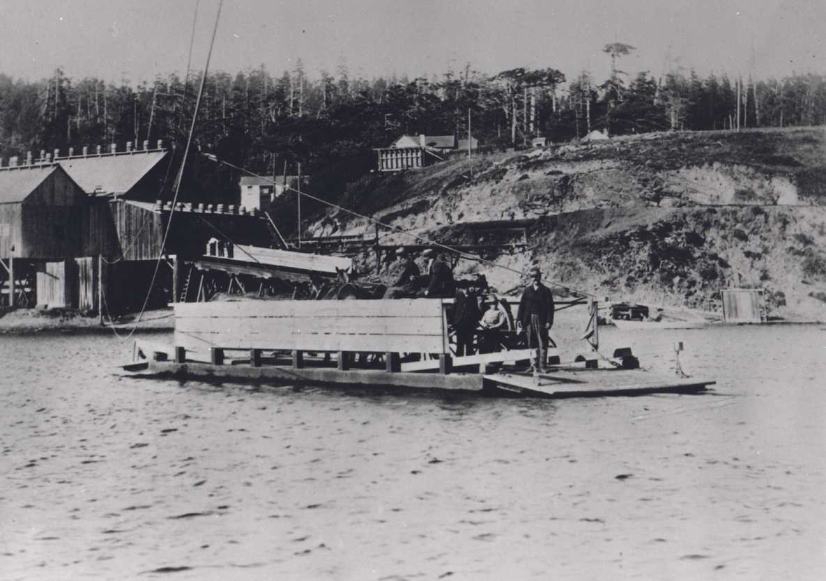 Click on image to enlarge (88K).
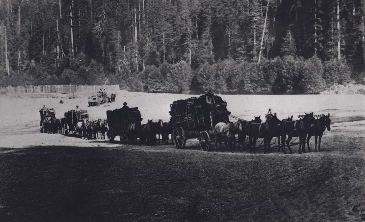 Click on image to enlarge (87K).
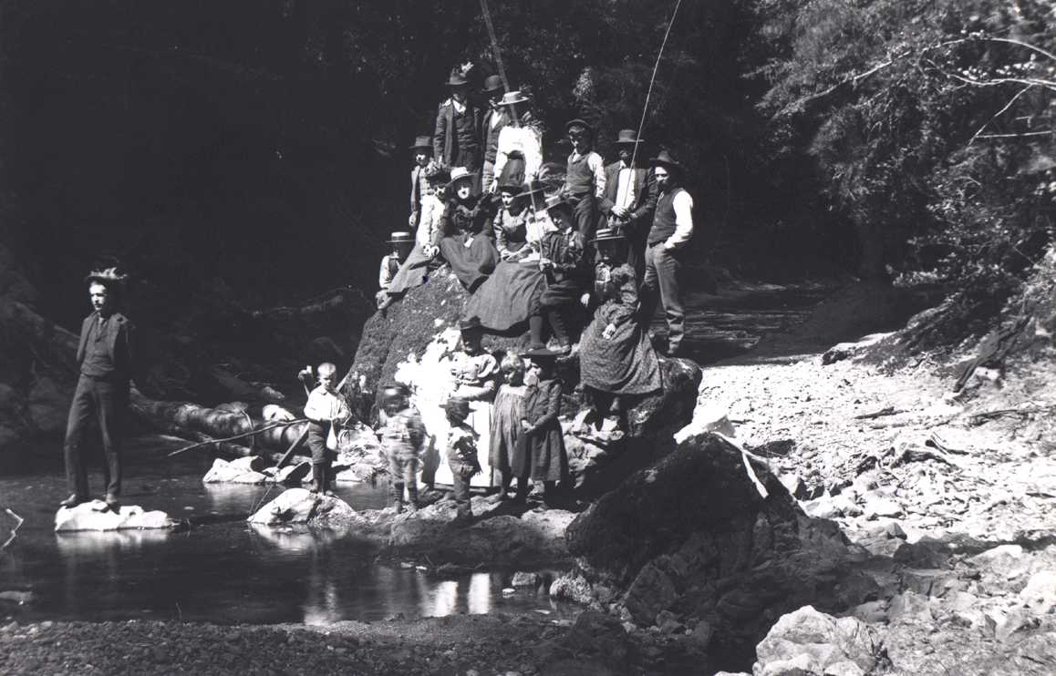 Click on image to enlarge (97K).
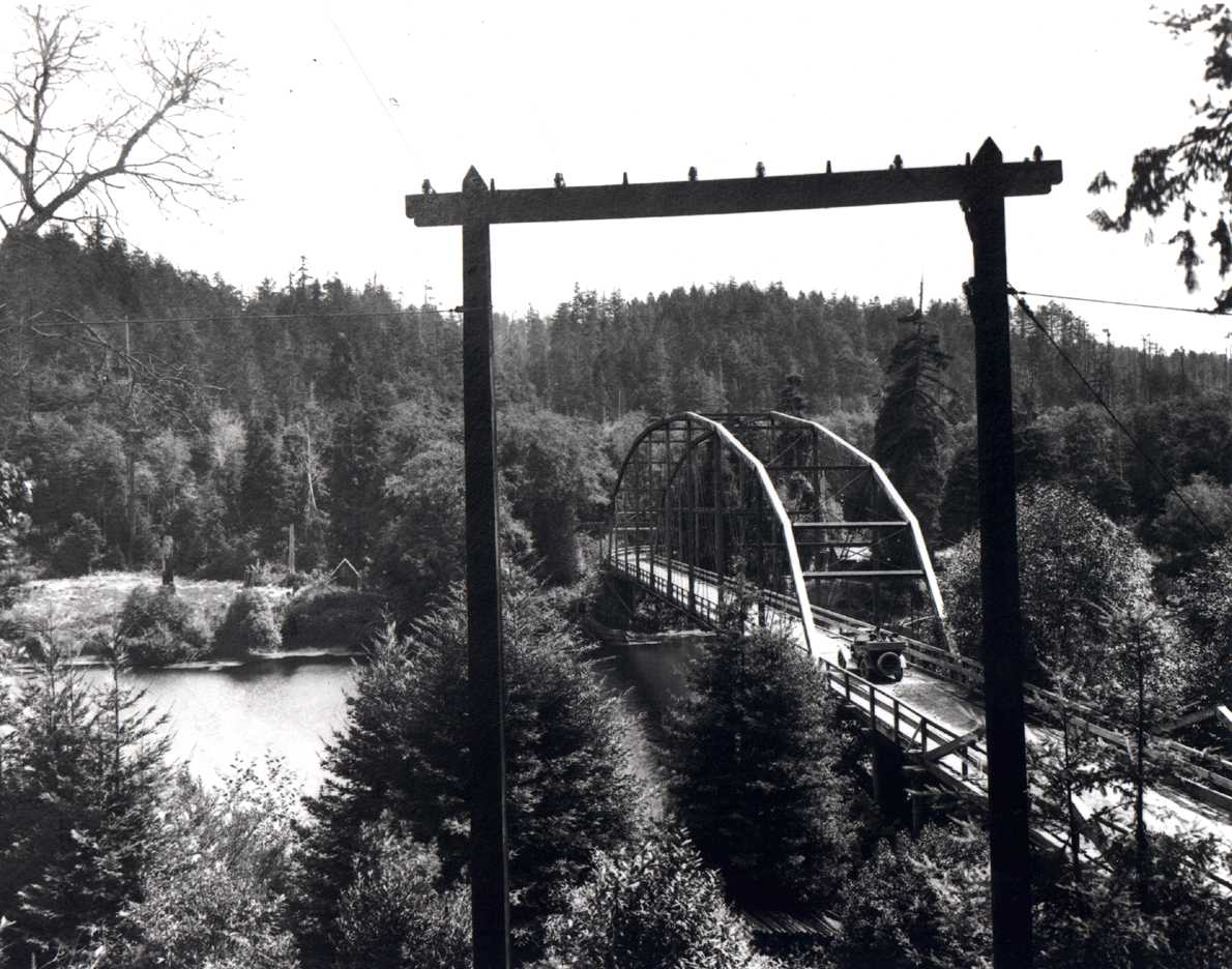 Click on image to enlarge (138K).
To learn more about this topic click Info Links
| www.krisweb.com |