
| Area | Rockpile Creek |
| Topic | Sediment: Road Densities for Rockpile Creek Calwaters |
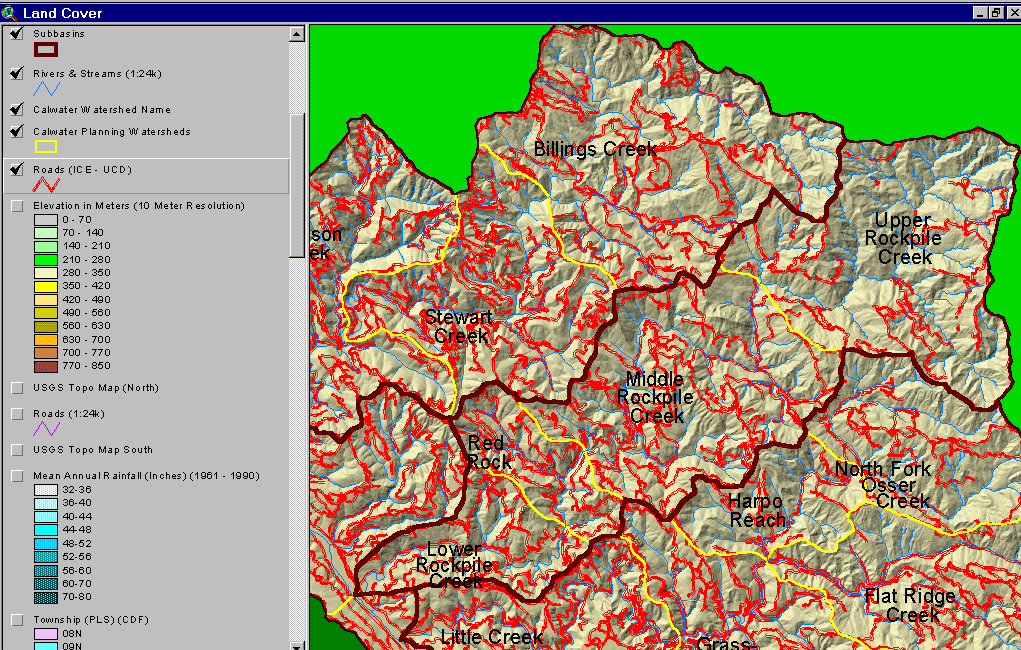
The map above shows the roads in the Rockpile Creek basin as mapped by UC Davis ICE from 2000 aerial photo graphs. The highest road densities tend to be in the western basins where there extensive timber haul roads. Image from the KRIS Gualala Map Project.
 Click on image to enlarge (197K).
To learn more about this topic click Info Links
| www.krisweb.com |