
| Area | South Fork |
| Topic | Tour: Lower SF Mainstem Ground Photos 1997/2001 |
This photo shows the convergence of the South Fork and Wheatfield Fork Gualala River taken in February 17, 2002, with the upper South Fork highly turbid. Photo courtesy of Brian Hines.
This photo shows active gravel skimming on the lower South Fork Gualala River taken in March 1997.Gravel bar in this reach was being actively mined for gravel. Photo courtesy of Patrick Higgins taken during field visits related to the Gualala Literature Search and Assimilation (Higgins, 1997).
This photo shows the lower South Fork Gualala River taken in March 1997 with fallen alder providing fish habitat complexity on the far side of the stream. Photo courtesy of Patrick Higgins taken during field visits related to the Gualala Literature Search and Assimilation (Higgins, 1997).
This photo shows the lower South Fork Gualala River looking upstream taken in March 1997. Note large wood jam at left providing cover for fish and predominantly coniferous riparian canopy. Photo courtesy of Patrick Higgins taken during field visits related to the Gualala Literature Search and Assimilation (Higgins, 1997).
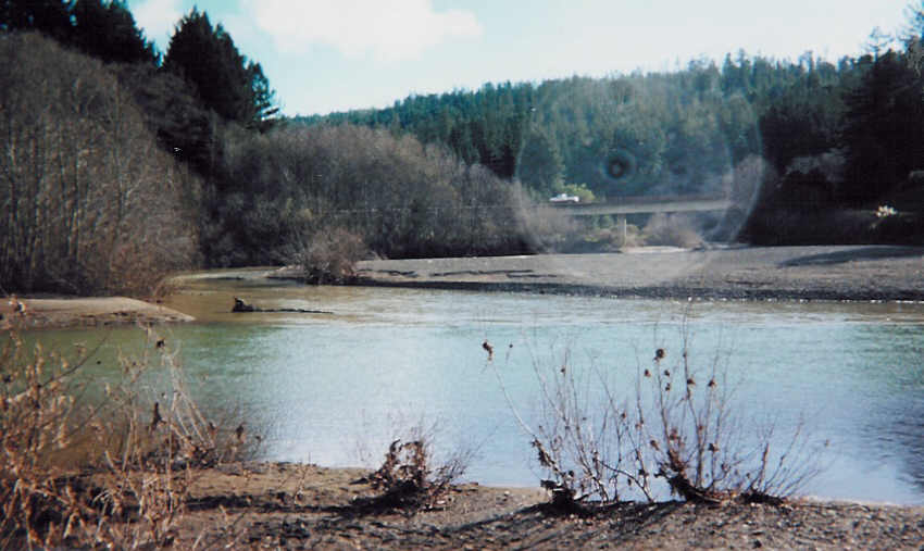
This photo shows the lower South Fork Gualala River looking upstream in a side channel area just above the convergence with the Wheatfield Fork taken in March 1997. Note the substantial deposit of fine sediment in the terrace behind the alder. The small average particle size in this fourth order reach of the South Fork would lead to high bedload mobility during high flows. Photo courtesy of Patrick Higgins taken during field visits related to the Gualala Literature Search and Assimilation (Higgins, 1997).
The South Fork Gualala River at Niestrath Road on February 13, 2001. Picture provided by Brian McFadin, North Coast Regional Water Quality Control Board.
SF Gualala River downstream of Hauser Bridge on January 25, 2001. Picture provided by Brian McFadin, North Coast Regional Water Quality Control Board.
SF Gualala River upstream of Hauser Bridge on January 25, 2001. Picture provided by Brian McFadin, North Coast Regional Water Quality Control Board.
 Click on image to enlarge (56K).
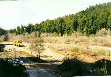 Click on image to enlarge (12K).
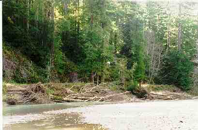 Click on image to enlarge (14K).
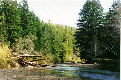 Click on image to enlarge (50K).
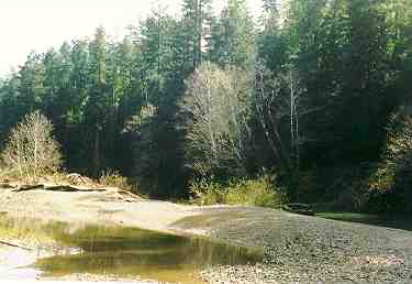 Click on image to enlarge (11K).
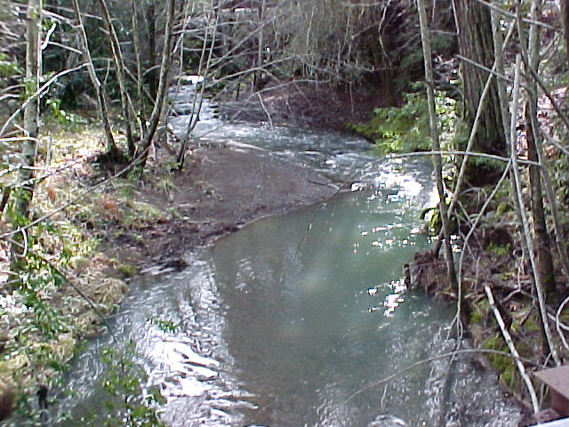 Click on image to enlarge (108K).
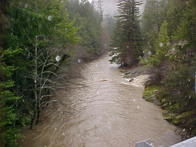 Click on image to enlarge (70K).
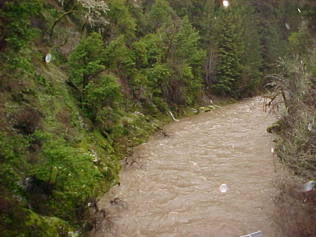 Click on image to enlarge (76K).
To learn more about this topic click Info Links
| www.krisweb.com |