
| Area | South Fork |
| Topic | Tour: Lower SF Mainstem Ground Photos 2002 |
Looking off Annapolis Road Bridge upstream on the South Fork Gualala River on April 10, 2002. Note very small particle size distribution, meandering channel and lack of pool frequency and depth. All these signs are indicative of active sediment contributions from upstream areas. Photo by Pat Higgins, April 10, 2002.
South Fork Gualala as it joins the Wheatfield Fork Gualala River. The back pressure from the Wheatfield is in part responsible for the sediment plug visible at left. Photo by Pat Higgins, April 10, 2002.
This picture was taken with a zoom lense looking off the Annapolis Road Bridge over the Wheatfield Fork Gualala River looking downstream. The South Fork joins the Wheatfield from the left. Note the sediment terrace at the mouth of the South Fork. Photo by Pat Higgins, April 10, 2002.
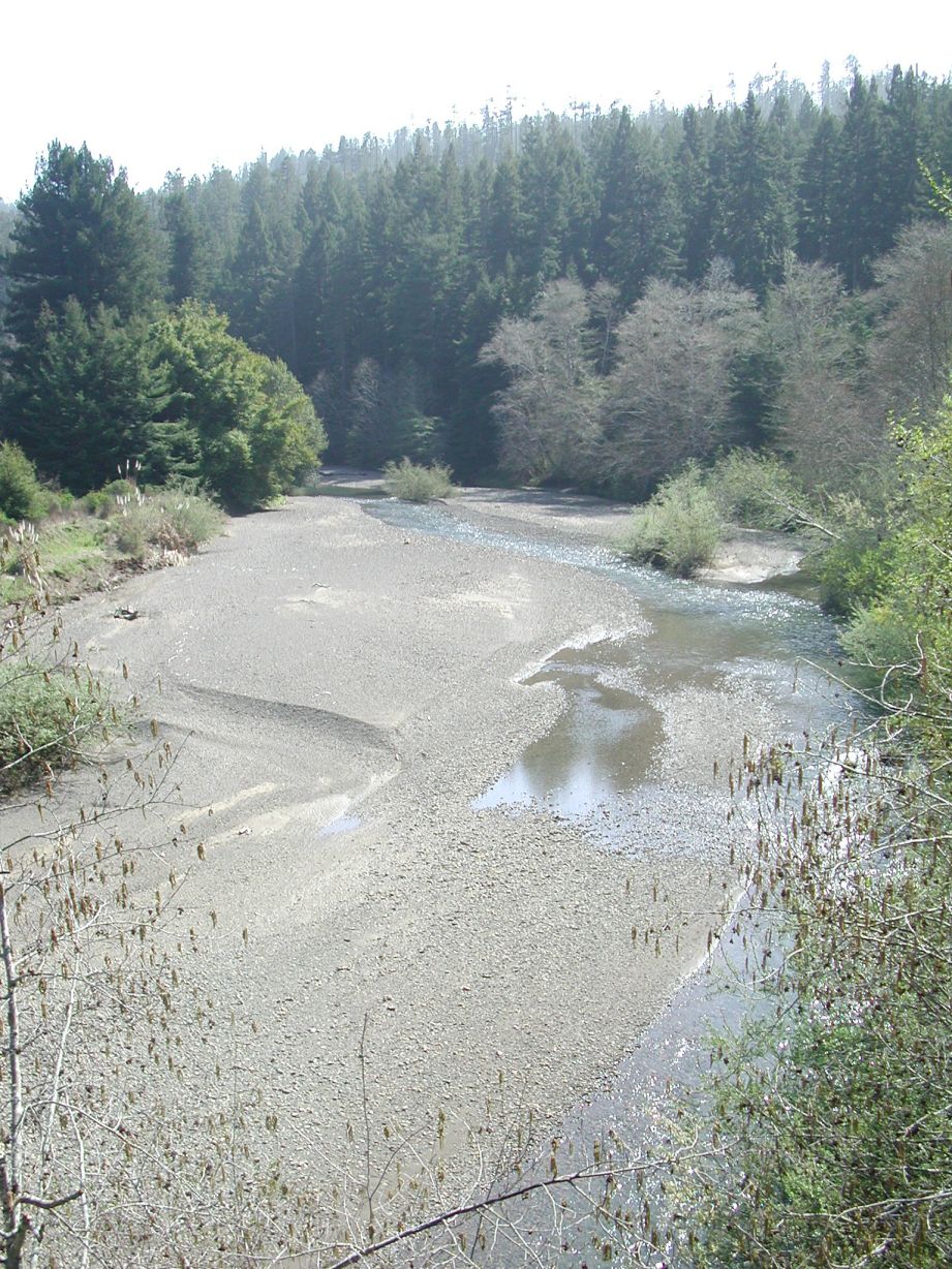 Click on image to enlarge (310K).
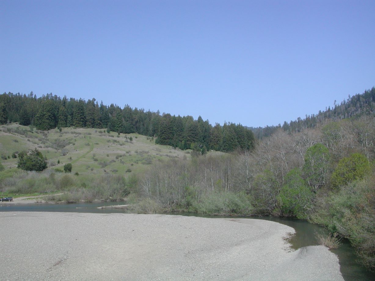 Click on image to enlarge (142K).
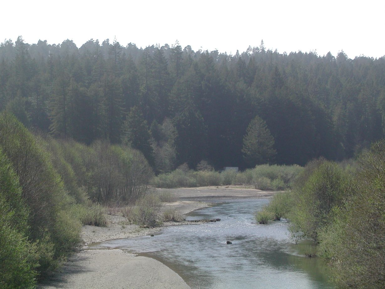 Click on image to enlarge (163K).
To learn more about this topic click Info Links
| www.krisweb.com |