
| Area | Wheatfield |
| Topic | Sediment: Road Densities for Wheatfield Fork Calwaters |
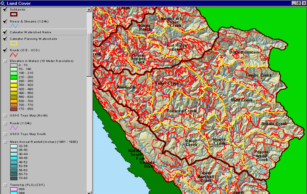
The map above shows the roads in the Wheatfield Fork Gualala River basin as mapped by UC Davis ICE from 2000 aerial photo graphs. The highest road densities are in the Fuller Creek and Annapolis Calwater. Many of the roads in Fuller Creek are currently undergoing upgrading or decomissioning. Image from the KRIS Gualala Map Project.
 Click on image to enlarge (189K).
To learn more about this topic click Info Links
| www.krisweb.com |