
| Area | Wheatfield |
| Topic | Timber Harvest: Percent Harvested Wheatfield Fork Calwaters 1991-2001 |
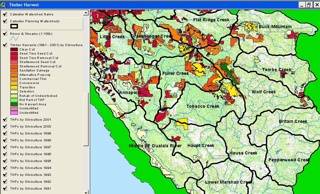
The image above comes from the KRIS Gualala Map project and shows timber harvests as mapped by the California Department of Forestry by year from 1991-2001. The timber harvests shown above are for the entire basin and have been approved but may not have been implemented. Note that harvests are concentrated in the western portion of the basin, primarily in the Annapolis and Fuller Creek Calwaters.
 Click on image to enlarge (166K).
To learn more about this topic click Info Links
| www.krisweb.com |